
The Kimberley is the northernmost of the nine regions of Western Australia. It is bordered on the west by the Indian Ocean, on the north by the Timor Sea, on the south by the Great Sandy and Tanami deserts in the region of the Pilbara, and on the east by the Northern Territory.
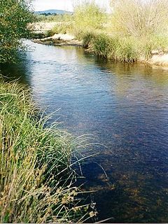
The Shoalhaven River is a perennial river that rises from the Southern Tablelands and flows into an open mature wave dominated barrier estuary near Nowra on the South Coast of New South Wales, Australia.

Fitzroy Crossing is a small town in the Kimberley region of Western Australia, 400 kilometres (250 mi) east of Broome and 300 kilometres (190 mi) west of Halls Creek. It is approximately 2,524 kilometres (1,568 mi) from the state capital of Perth. It is 114 metres (374 ft) above sea level and is situated on a low rise surrounded by the vast floodplains of the Fitzroy River and its tributary Margaret River.

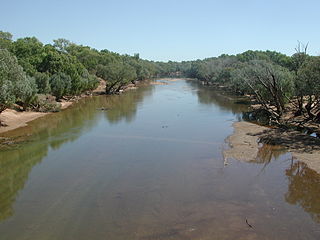
The Fitzroy River is located in the West Kimberley region of Western Australia. It has 20 tributaries and its catchment occupies an area of 93,829 square kilometres (36,228 sq mi), within the Canning Basin and the Timor Sea drainage division.

The Wunaamin Miliwundi Ranges, formerly known as the King Leopold Ranges between 1879 and 2020, are a range of hills in the western Kimberley region of Western Australia.

The Shire of Derby–West Kimberley is one of four local government areas in the Kimberley region of northern Western Australia, covering an area of 104,080 square kilometres (40,186 sq mi), most of which is sparsely populated. The Shire's population as at the 2016 Census was almost 8,000, with most residing in the major towns of Derby, which is also the Shire's seat of government, and Fitzroy Crossing. There are also around 70 Aboriginal communities within the Shire.
Noonkanbah Station is a pastoral lease, both a cattle and sheep station, on the Fitzroy River between Camballin and Fitzroy Crossing in the south central Kimberley region of Western Australia.

Geikie Gorge is a feature of the Napier Range and is located within the grounds of Danggu Gorge National Park, 20 kilometres (12 mi) from Fitzroy Crossing, 1,831 km (1,138 mi) northeast of Perth and 420 km (260 mi) east of Broome in the Kimberley region of Western Australia. Believed to be one of the best-known and most easily accessed, the gorge is named in honour of Sir Archibald Geikie, the Director General of Geological Survey for Great Britain and Ireland when it was given its European name in 1883.
The Margaret River is a river in the Kimberley region of Western Australia.

Fossil Downs Station is a pastoral lease and cattle station located about 50 kilometres (31 mi) North East of Fitzroy Crossing in the Kimberley region of Western Australia.

The Barnett River is a river in the Kimberley region of Western Australia.
Yeeda Station is a pastoral lease that operates as a cattle station in the Kimberley region of Western Australia.
Bird Island is the name of three islands in Western Australia. Two are in the Kimberley region, and the third is off the coast of Rockingham, about 2 kilometres (1.2 mi) south of Garden Island.
Myroodah or Myroodah Station is a pastoral lease that once operated as a sheep station but presently operates as a cattle station located in Western Australia.
Mount Barnett Station is a pastoral lease that operates as a cattle station in Western Australia.
The Balili Conservation Park or Devonian Reef Conservation Park is an Australian protected area and is located in the Kimberley region of Western Australia, about 50km North-West of Fitzroy Crossing. It includes Geikie Gorge National Park, Tunnel Creek National Park and Windjana Gorge National Park.

Western River is a locality in the Australian state of South Australia located on the north coast of Kangaroo Island overlooking Investigator Strait about 170 kilometres south-west of the state capital of Adelaide and about 64 kilometres west of the municipal seat of Kingscote.
Vivonne Bay is a locality in the Australian state of South Australia located on the south coast of Kangaroo Island overlooking the body of water known in Australia as the Southern Ocean and by international authorities as the Great Australian Bight and which includes the bay known as Vivonne Bay. It is located about 174 kilometres southwest of the state capital of Adelaide and about 55 kilometres southwest of the municipal seat of Kingscote.
Quanbun Station, also known as Quanbum and Quanbun Downs, is a pastoral lease and cattle station located about 40 kilometres (25 mi) south west of Fitzroy Crossing in the Kimberley region of Western Australia.
The Gooniyandi, also known as the Konejandi, are an indigenous Australian people in the Kimberley region of Western Australia.
