
Bingham County is a county in the U.S. state of Idaho. As of the 2020 census, the population was 47,992. The county seat and largest city is Blackfoot.

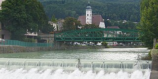
The Salzach is a river in Austria and Germany. It is 227 kilometres (141 mi) in length and is a right tributary of the Inn, which eventually joins the Danube. Its drainage basin of 6,829 km2 (2,637 sq mi) comprises large parts of the Northern Limestone and Central Eastern Alps. 83% of its drainage basin lies in Austria, the remainder in Germany (Bavaria). Its largest tributaries are Lammer, Berchtesgadener Ache, Saalach, Sur and Götzinger Achen.

Gartner, Inc. is an American technological research and consulting firm based in Stamford, Connecticut, that conducts research on technology and shares this research both through private consulting as well as executive programs and conferences. Its clients include large corporations, government agencies, technology companies, and investment firms.

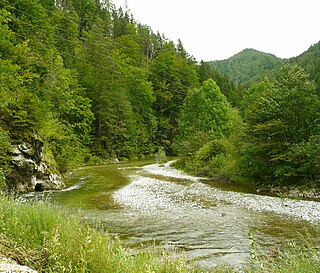
The Dornbirner Ach is a 29.9 km (18.6 mi) long stream in Vorarlberg, Austria, and a tributary of Lake Constance and the Rhine, respectively. It flows through two gorges in its upper part, the Alploch Gorge and the Rappenloch Gorge.

Google Maps is a web mapping platform and consumer application offered by Google. It offers satellite imagery, aerial photography, street maps, 360° interactive panoramic views of streets, real-time traffic conditions, and route planning for traveling by foot, car, bike, air and public transportation. As of 2020, Google Maps was being used by over one billion people every month around the world.
The Mürz is a river in Styria, Austria, with a length of 84 km (52 mi). Its drainage basin is 1,505 km2 (581 sq mi).

The Steyr is a river in Upper Austria. Its length is approx. 68 km (42 mi). Its drainage basin is 917 km2 (354 sq mi).
The Red Weißeritz is a river of Saxony, Germany.

The Ötztaler Ache is a river in the district of Imst, Tyrol state of Austria. It is a right tributary of the Inn. It flows through the Ötztal valley, a southern branch the Inntal. Including its source rivers Venter Ache and Rofenache, it is 66.5 kilometres (41.3 mi) long. The Rofenache is the runoff of the Hintereisferner, a glacier at the foot of the Weißkugel, Ötztal Alps. At Vent, near Sölden, it takes up the Niedertalbach and its name changes to Venter Ache. At the confluence with the Gurgler Ache in Zwieselstein, Sölden, the Ötztaler Ache proper is formed. It flows through Sölden, Längenfeld, Umhausen and Oetz before joining the Inn 8 kilometres (5.0 mi) east of Imst. The river is one of its bigger tributaries.

Aurach is a river in the Austrian state of Upper Austria.

The Taugl or also Tauglbach is a river of the State of Salzburg, Austria.
The Sanna is a river of Tyrol, Austria, a left tributary of the Inn.

Peters Canyon Wash is a tributary of San Diego Creek in central Orange County in the U.S. state of California.
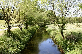
Bever is a river of North Rhine-Westphalia, Germany.

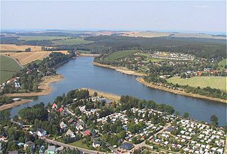
Neue Luppe is an artificial river of Saxony and Saxony-Anhalt, Germany.
Erlauf is a river of Lower Austria and of Styria, Austria. Its drainage basin is 632 km2 (244 sq mi).

The Pitten is a river in Lower Austria. Its basin area is 413 km2 (159 sq mi).
Kelchsauer Ache is a river of Tyrol, Austria.
Lizumbach is a river of Tyrol, Austria, in the Tux Alps.
