
Springdale Township is a township in Allegheny County, Pennsylvania, United States. It contains the two communities of Orrville and Harwick. The population was 1,636 at the 2010 census.

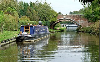
Croxden is a village in the county of Staffordshire, England, south of Alton and north of Uttoxeter. The population of the civil parish as taken at the 2011 census was 255.
South Staffordshire is a local government district in Staffordshire, England. Its council is based in Codsall. Other notable settlements include Brewood, Cheslyn Hay, Coven, Essington, Featherstone, Four Ashes, Great Wyrley, Huntington, Kinver, Landywood, Penkridge, Perton, Wedge Mills, Weston-under-Lizard and Wombourne. The district covers a largely rural area lying immediately to the west and north-west of the West Midlands conurbation.
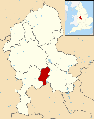
Cannock Chase is a local government district in Staffordshire, England. It is named after and covers a large part of Cannock Chase, a designated Area of Outstanding Natural Beauty. The council is based in the town of Cannock. The district also contains the towns of Hednesford and Rugeley, as well as a number of villages and surrounding rural areas.

Penn is an area which is divided between the City of Wolverhampton and South Staffordshire district. The population of the Wolverhampton Ward taken at the 2011 census was 12,718. Originally, it was a village in the historic county of Staffordshire. There is considerable confusion about exactly which areas fall within Penn. In 19th century censuses, Merry Hill, Bradmore are understood to form part of Penn, although these areas are generally understood to be separate today. However, there has never been any doubt that the two historic settlements of Upper and Lower Penn form the core of the area.
Brindley Heath is an area of heath land on Cannock Chase situated between Hednesford and Rugeley in the Cannock Chase District of Staffordshire, England. The area also forms a civil parish, which at the 2001 census, had a population of 862, decreasing to 827 at the 2011 Census.
Tettenhall Regis is a ward of Wolverhampton City Council, West Midlands. The population of this ward at the 2011 census was 11,911.
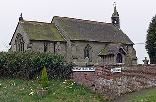
Acton Trussell and Bednall is a civil parish in the South Staffordshire district of Staffordshire, England. As the name indicates, it contains the two villages Acton Trussell, Bednall. Teddesley Hay is part of the grouped parish council. The population of the civil parish at the 2011 census was 1,248.
Waterhouses is a village in the south of the Staffordshire Peak District in England. It is around 8 miles from Leek and Ashbourne, being nearly the halfway point between the two towns on the A523 road, which roughly follows the southern boundary of the Peak District National Park. Waterhouses is also a civil parish, created in 1934 when the parishes of Calton, Cauldon, Waterfall and part of Ilam were merged; previously the village of Waterhouses was on the boundary of Waterfall and Cauldon parishes. The hamlet of Winkhill is also in the parish. The population of the civil parish at the 2011 census was 1,134.

Bishop's Tachbrook is a village and civil parish in the Warwick District of Warwickshire, England. The village is about 3 miles (5 km) south of Warwick and Leamington Spa. A church at Bishop's Tachbrook is mentioned in the Domesday Book. The village contains traditional half-timbered buildings, and modern residences including council-owned terraced housing. Facilities and amenities include The Leopard public house, the oldest part of which was a morgue for the nearby crematorium, small retail outlets including a corner shop, a primary school for children aged 4 to 11, and a park which includes a BMX track.

Brizlincote is a civil parish in Burton upon Trent in East Staffordshire, England. Formerly farmland and a manor lying in Derbyshire, it was added to the municipal borough of Burton by the Local Government Act 1888 and formally transferred to Staffordshire in 1894. It was developed for housing in the late 20th and early 21st centuries. The area of the parish was previously considered part of the (unparished) adjoining areas of Stapenhill and Winshill. All three areas are now separate parishes. Brizlincote has a population of around 5,000 and has the highest average household income of any parish in Burton.

Branston is a village and civil parish in Staffordshire, England. At the 2001 census, the population was 6,540, increasing to 6,749 at the 2011 Census.

Whitchurch Rural is a civil parish in Shropshire, England.
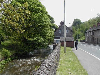
Hill Ridware is a small village in the civil parish of Mavesyn Ridware in the Lichfield District of Staffordshire, England. It is the largest settlement in the parish with a population of 857 at the 2011 Census. Situated across the River Trent from Rugeley, it is on the B5104 north of Armitage.
Chilcote is a village and civil parish in the North West Leicestershire district of Leicestershire, England. Until 1897 it was in Derbyshire. The parish had a population of 108 according to the 2001 census, including Stretton-en-le-Field and increasing to 200 at the 2011 census.

Forton is a small village and civil parish in Staffordshire, England, situated east of the market town of Newport, Shropshire. The civil Parish population at the 2011 census was 308.

Hollington is a village in the Staffordshire Moorlands in English county of Staffordshire. There are several villages of this same name, and there is a Hollington, Derbyshire a few miles to the east in Derbyshire. The population taken at the 2011 census was 212.

Bradley is a village and civil parish in Staffordshire, England. The population of the civil parish at the 2011 census was 513. It is located close to the A518 road leading to the villages of Haughton and Gnosall towards Telford.

Trysull and Seisdon is a conjoined civil parish in the South Staffordshire non-metropolitan district, in the county of Staffordshire, England. The population of the civil parish taken at the 2011 census was 1,150. It is in the lowest tier of local government below districts and counties. It is both an administrative parish, and an ecclesiastical parish formed from the two historic villages of Trysull and Seisdon.

Shobnall is a settlement and civil parish located in Staffordshire, England. It covers an area located in the west of Burton upon Trent. The population of Shobnall taken at the 2011 census was 5,071.