This article needs additional citations for verification .(November 2025) |
| Antongil Bay | |
|---|---|
 Megaptera novaeangliae in Antongil Bay | |
 Antongil Bay | |
| Location | Ambatosoa, Madagascar |
| Coordinates | 15°45′00″S49°50′25″E / 15.75000°S 49.84028°E |
| River sources | Antainambalana River |
| Ocean/sea sources | Indian Ocean |
| Basin countries | Madagascar |
| Settlements | Maroantsetra |
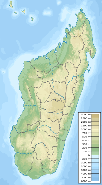
Helodranon' Antongila (Bay of Antongila), more commonly called Antongil Bay in English, is the largest bay in Madagascar. This bay is on the island's east coast, toward the northern end of the eastern coastline of the island. It is mostly surrounded by the administrative region of Ambatosoa.
The bay is about 44 miles (71 km) long and 19 miles (31 km) wide, and fairly shallow, with its deepest point approximately 400 feet (120 m) deep. [1] The island Nosy Mangabe and the town of Maroantsetra are situated at the northern end of the bay, [2] : 188 while the southern end of the bay is near the site of the town of Mananara Avaratra and the mouth of the Mananara River. Forming the eastern edge of the bay is the Masoala peninsula.[ citation needed ]

