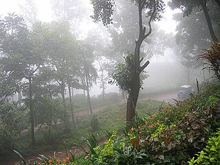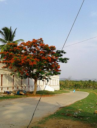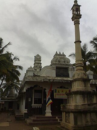
Chikmagalur, officially Chikkamagaluru is an administrative district in the Malnad subregion of Karnataka, India. Coffee was first cultivated in India in Chikmagalur. The hills of Chikmagalur are parts of the Western Ghats and the source of Tunga and Bhadra rivers. Mullayanagiri, the highest peak in Karnataka is located in the district. The area is well known for the Sringeri Mutt that houses the Dakshina Peeta established by Adi Shankaracharya.

Kemmannugundi is a hill station in Tarikere taluk of Chikkamagaluru district in the state of Karnataka, India. It is at the elevation of 1434m above sea level, with its peak at 1863m. This was the summer retreat of Krishnaraja Wodeyar IV, and as a mark of respect to the king, it is also known as Sri Krishnarajendra Hill Station. The station is ringed by the Baba Budan Giri Range, with cascades, mountain streams, and lush vegetation. Kemmangundi has ornamental gardens and mountains and valleys views.

Arsikere is a city and taluka in the Hassan district in the state of Karnataka, India. It is the second largest city in Hassan district, demographically. Arsikere city municipal council consists of 35 wards. This region is known for its coconut production and is also called Kalpataru Nadu. Arsikere Junction is a major railway junction in the South Western Railway which links Mangalore and Mysore to North Karnataka and a central place for tourists who visit nearby places that do not have rail access, such as Belur, Halebidu and Shravanabelagola, Harnahalli, and Kodimata.
Birur is a town & a hobli, located in Kadur Taluk in Chikkamagaluru district in the state of Karnataka, India. It belongs to Mysuru Division. It is located 46 km north-east from district headquarters Chikkamagaluru. The National Highway, NH-69, and State Highway 76 (Karnataka) passes through the town.

Kalaghatagi is an administrative division, or Taluka, in the Dharwad district of the Indian state of Karnataka.
Tarikere is a town, a taluk and is one of the two Subdivisional headquarter in the Chikmagalur district of Karnataka state, India. It is popularly known as gateway of Malnad because the Malnad area starts from here. The town's name is derived from the number of water tanks which surround it.

Bhadra Wildlife Sanctuary is a protected area and tiger reserve as part of the Project Tiger, situated in Chikkamagaluru district, 23 km (14 mi) south of Bhadravathi city, 38 km (24 mi) 20 km from Tarikere town, northwest of Chikkamagaluru and 283 km from Bengaluru city in Karnataka state, India. Bhadra sanctuary has a wide range of flora and fauna and is a popular place for day outings. The 1,875 m (6,152 ft) above MSL Hebbe Giri is the highest peak in the sanctuary.
Lingadahalli is a village and a hobli in Tarikere Taluk, Chikmagalur district, Karnataka, India. Lingadahalli is one of the prominent pre-historic sites in Karnataka state. The location code number of Lingadahalli as per census of India 2011 are, 609336 and 609334 (kaval).
Chowlahiriyur is a village and a hobli in Ajjampura taluk of Chikmagalur district, in the state of Karnataka, India.
Karekatte is a village in the Indian state of Karnataka. Karekatte is located on Davanagere-Channagiri connecting road. At a distance of about 34 km (21 mi) from the Davanagere (District). At a distance of about 28.6 km (18 mi) from the Channagiri (Taluk).
Bhandigadi is a small village in Koppa taluk, Chikkamagaluru district of Karnataka, India. Located on the banks of Tunga River, there is a Sri Veeradhadreshwara Temple located in heart of the village, the village also hosts matha- Shakatapura samsthanam. Kundadri hills, located far off from the place forms a scenic background to this village.
Towdur is a village in the southern state of Karnataka, India. It can also be spelt as Thoudur, Tavadur or Thouduru. It is located in the Harapanahalli taluk of Bellary district in Karnataka. It is a Grama Panchayat, consisting of 11 villages. The village has mostly farmers, a few middle-class families, and very few rich people. The village consists of 7 main historical temples. Udisalambika Devi Temple and Veeranjaneya temples are the famous among them. Basavanna Temple is like an assembly for the villagers. Villagers assemble here for Important discussions in the name of Panchayat meet. Thoudur owns 1 Government Higher Primary School and Government High school named Ayyanahalli Matada Kadamma Veerayya High School land donated by AM Ajjaiah & Kotraiah brothers on remembrance of his Parents.
A. Rangapura is a village in the southern state of Karnataka, India. It is located in the Tarikere taluk of Chikkamagaluru district in Karnataka.
Abbinaholalu is a village in the southern state of Karnataka, India. It is located in the Tarikere taluk of Chikkamagaluru district in Karnataka.
Addagadde is a village on the banks of river Tunga in the southern state of Karnataka, India. It is located in Sringeri taluk of Chikkamagaluru district at a distance of 8 km away from Sringeri, on Sringeri to Shivamogga highway. It is a panchayat village, filled with plenty of greenery and a classic example of a Malnad village set up. The village has a population of around 1500, where majority depends on arecanut cultivation. Addagadde has a historical Veerabhadreshwara temple.
Asandi is a village in Kadur taluk, Chikkamagaluru district, Karnataka, India. It is situated 5 miles (8.0 km) from Ajjampura railway station.
Chikkamagaluru Lok Sabha Constituency was a former Lok Sabha (parliamentary) constituency in Karnataka state in southern India. With the implementation of the delimitation of parliamentary constituencies in 2008, it ceased to exist.

The Bhadra Dam or Lakkavalli Dam, which has created the Bhadra Reservoir, is located on the Bhadra River a tributary of Tungabhadra River. Bhadra Dam is located in the border of Bhadravathi and Tarikere, in the western part of Karnataka in India. The benefits derived from the reservoir storage are irrigation with gross irrigation potential of 162,818 hectares, hydro power generation of 39.2 MW, drinking water supply and industrial use. The dam commissioned in 1965 is a composite earth cum masonry structure of 59.13 metres (194.0 ft) height with length of 1,708 metres (5,604 ft) at the crest level, which submerges a land area of 11,250.88 hectares.
Ballekere is a village near Kadur of Chikkamagaluru district of Karnataka, India.

The Yoga Narasimha Temple at Baggavalli, a Hoysala era construction was built in the early 13th century. Baggavalli is a village in Tarikere Taluq in the Chikkamagaluru district of Karnataka state, India. The monument is protected by the Karnataka state division of Archaeological Survey of India.


