| Ban Pakha | |
|---|---|
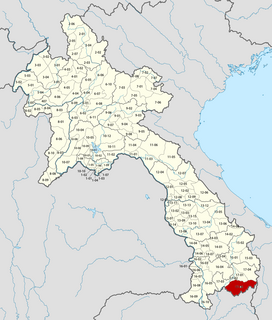
 Ban Pakha Location in Laos | |
| Coordinates: 14°38′N107°24′E / 14.633°N 107.400°E Coordinates: 14°38′N107°24′E / 14.633°N 107.400°E | |
| Country | |
| Province | Attopu Province |
| Time zone | UTC + 7 |
Ban Pakha is a village in Phouvong District in the Attopu Province of south-eastern Laos. [1]

A village is a clustered human settlement or community, larger than a hamlet but smaller than a town, with a population ranging from a few hundred to a few thousand. Though villages are often located in rural areas, the term urban village is also applied to certain urban neighborhoods. Villages are normally permanent, with fixed dwellings; however, transient villages can occur. Further, the dwellings of a village are fairly close to one another, not scattered broadly over the landscape, as a dispersed settlement.
Phouvong is a district (muang) of Attapu Province in southern Laos.

Laos, officially the Lao People's Democratic Republic, commonly referred to by its colloquial name of Muang Lao, is a socialist state and the only landlocked country in Southeast Asia. Located at the heart of the Indochinese peninsula, Laos is bordered by Myanmar (Burma) and China to the northwest, Vietnam to the east, Cambodia to the southwest, and Thailand to the west and southwest.