
Zuwarah, or Zuwara or Zwara, is a port city in northwestern Libya, with a population of around 32,893, famous for its beaches and seafood. It is situated 102 km (63 mi) west of Tripoli and 60 km (37 mi) from the Tunisian border. It is the capital of the Nuqat al Khams district. Its population speaks Zuwara Berber, a Zenati Berber language.

Al Abraq is a town in Libya, in the Derna District. It is located 23 km east of Bayda, Other names include the transliterations Al Labrag, Al Labraq, Al Lazraq, and El-Abràgh, as well as the Italian Luigi di Savoia. According to the census of 2006, the city had a population of 8861 people.
Musaid or Imsaad is a town in Butnan District in eastern Libya. Alternates names include: Oistant, Msa'ed, Imsa'ed, and Musa'ed. Musaid lies approximately 150 kilometres east of Tobruk and is the major border crossing between Libya and Egypt.

Muhammad Sakizli (1892–1976) was the Prime Minister of Cyrenaica from 18 March 1950 to 24 December 1951. He was later appointed as the Prime Minister of Libya from 19 February to 12 April 1954.
Castelverde, also named Gasr Garabulli, is a town in the Tripoli District (Tarabulus), of the Tripolitania region in northwestern Libya.

Italian Tripolitania was an Italian colony, located in present-day western Libya, that existed from 1912 to 1934. It was part of the Italian North African territory conquered from the Ottoman Empire in 1911. Italian Tripolitania included the western northern half of Libya, with Tripoli as its main city.
Marada is a desert oasis in the Al Wahat District, Cyrenaica region, in northeastern Libya.
Faydiya, or Al Fa'idiyah is a town in the District of Jebel el-Akhdar in northeastern Libya.

Haniya, or Al Haniyah, is a town in the District of Jebel el-Akhdar in north-eastern Libya.

Qaryat ‘Umar al Mukhtar is a village in the District of Jabal al Akhdar in north-eastern Libya. It was named after the Libyan resistance leader Omar Mukhtar. Under the Italian rule it was known as Mameli after the Italian patriot Goffredo Mameli.

Qirnada or Ghirnada is a town in the District of Jabal al Akhdar in north-eastern Libya. It is located 20 km south of Bayda.

Timimi, At Timimi or Tmimi, is a small village in Libya about 75 km east of Derna and 100 km west of Tobruk. It is on the eastern shores of the Libyan coastline of the Mediterranean Sea.

El Magrun(Arabic: المقرون) is a village in the Benghazi District, of the Cyrenaica region in northeastern Libya.

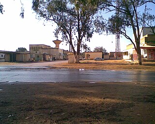
Al Qubbah or El Gubba is a town in eastern Libya. Once capital of Quba District.
Farzougha is a village in the Jebel Akhdar landscape in the Marj District in the northern Cyrenaica region of northeastern Libya.
El Uweilia is a village in the Jebel Akhdar mountains foothills region in Libya. It is located some 16 km (9.9 mi) east of Marj and 89 km (55 mi) west of Bayda.

Bomba is a village in eastern Libya on the Gulf of Bomba. It is located 61 km (38 mi) south of Derna.
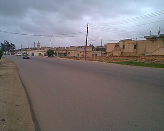
El Bayyada is a town in the Jebel Akhdar region of Libya. It is located 140 km (87 mi) east of Benghazi and 60 km (37 mi) west of Bayda.
Zwila, also Zuila, Zweila, Zawila, Zawilah or Zuweila, is a village in southwestern Libya.
Ali Hussnein or Ali Sadiq Hussnein was a Libyan politician. He was the last foreign minister of the Kingdom of Libya.

