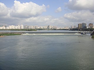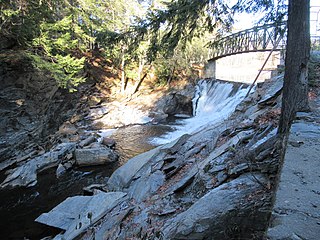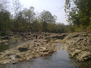
The Crișul Repede is a river in Bihor County, Crișana, Romania and in southeastern Hungary (Körösvidek). Together with the rivers Crișul Alb and Crișul Negru, it makes up the Three Criș rivers. These are considered the main rivers in the Crișana region of Romania. Historically, when Crișana was recognised as an official region, the Criș rivers were the most important in the region. The basin size of the Crișul Repede is 9,119 km2 (3,521 sq mi). Its length in Romania is 171 km (106 mi).

The River Roding rises at Molehill Green, Essex, England, then flows south through Essex and London and forms Barking Creek as it reaches the River Thames.

The River Bandon is a river in County Cork, Ireland.

The Ishikari River, at 268 kilometres (167 mi) long, is the third longest in Japan and the longest in Hokkaidō. The river drains an area of 14,330 square kilometres (5,530 sq mi), making it the second largest in Japan, with a total discharge of around 14.8 cubic kilometres (3.6 cu mi) per year.

The Arakawa River or Ara River is a 173-kilometre (107 mi) long river that flows through Saitama Prefecture and Tokyo. Its average flow in 2002 was 30 m3/s.

The Yuan River, also known by its Chinese name as the Yuanjiang, is one of the four largest rivers in Hunan province in southeast-central China. It is a tributary of Yangtze River. It is 864 kilometres (537 mi) long and rises in Guizhou province in the Miao Mountains near Duyun and is navigable. The upper stream is called the Longtou River, and downstream it is called the Qingshui or Ch‘ing-shui River. It becomes the Yuan River after its confluence with its northern tributary, the Wu River.

The Wanquan River is the third longest river in Hainan Province, China, and is 162 km long. It rises in the Wuzhi Mountain, and flows generally northeast turbulently in a narrow route through mountainous regions. About half way downstream, it enters Qionghai. Here the river bed widens and the water flows gently, and on the banks are mostly coconut trees and banana plantations. For its last 30 km, the river makes a southeast turn, and before it empties into the South China Sea at Bo'ao, where it joins the Longgun River and Jiuqu River in a common estuary.

Catoctin Creek is a 27.9-mile-long (44.9 km) tributary of the Potomac River in Frederick County, Maryland, US. Its source is formed north of Myersville. In Myersville, it merges with the Little Catoctin Creek at Doub's Meadow Park. From there, it flows directly south through Middletown, and the southern Middletown Valley for the entire length of the stream collecting several smaller tributaries. It makes a crossing with the Chesapeake and Ohio Canal at the Catoctin Aqueduct, one of just 11 of these structures to survive. Catoctin Creek enters the Potomac River east of Brunswick.

The River Wheelock is a small river in Cheshire in north west England. It drains water from the area between Sandbach and Crewe, and joins the River Dane at Middlewich, and then the combined river flows into the River Weaver in Northwich. Alternative names for the river were recorded in 1619 as Sutton Watter, Sutton Brooke, and Lawton Brooke.

River Oaks station is an at-grade light rail station located in the center median of First Street at its intersection with River Oaks Parkway, after which the station is named, in San Jose, California. The station is owned by Santa Clara Valley Transportation Authority (VTA) and is served by the Blue Line and the Green Line of the VTA light rail system.
Pednelissus or Petnelissus was a city on the border between Pamphylia and Pisidia in Asia Minor.

Totak is a lake in Vinje Municipality in Telemark county, Norway. The 37.26-square-kilometre (14.39 sq mi) lake is located in the Rauland area, about 10 kilometres (6.2 mi) to the north of the village of Åmot. The lake is part of the Skien river watershed (Skiensvassdraget), discharging via the river Tokke which flows into the lake Bandak to the south. At 306 metres (1,004 ft) deep, Totak is the 11th deepest lake in Norway. This tremendous overdeepening marks it as a glacially formed lake with characteristics similar to a fjord. Its volume of 2.35 cubic kilometres (1,910,000 acre⋅ft) makes it the 24th largest by volume as well. Totak is Norway's deepest lake; that isn't a cryptodepression. The lake's basin is well over sealevel. The lake is a reservoir that holds water for the Tokke Hydroelectric Power Station.

The Cold River is a 22.6-mile-long (36.4 km) river in western New Hampshire in the United States. It is a tributary of the Connecticut River, which flows to Long Island Sound.

Cheyyaru River is an important seasonal river that runs through the Tiruvannamalai District of the state of Tamil Nadu in South India. It is a tributary of Palar River, a river which originates in Jawadhu Hills and flows through Thiruvannamalai district before entering into the Bay of Bengal. The river receives most of its water from the Northeast and Southwest monsoons and is the major source of irrigation for several villages, including the towns of Cheyyaru and Vandavasi along its bank.
The Cross River is a short river that rises within the hamlet of Cross River in the town of Lewisboro in southern New York state. Its headwaters make a loop, heading south, then southwest, then northwest, and finally west, continuing a few miles in that direction until it joins a tendril of the Cross River Reservoir, a part of the New York City water supply system.

Gundwad is a village in Belgaum district in the southern state of Karnataka, India. situated on the bank of Krishna River. There is a Parshvanatha Basadi in the village which can be seen from few kilometres.

The Jamieson River is an inland river in Victoria, Australia. The river rises in Alpine National Park and flows into the Goulburn River at the town of Jamieson. Its tributaries are Jamieson River north branch and Jamieson River south branch.
Deep River State Trail is a unit of the North Carolina state park system in Chatham, Lee, Moore, Randolph and Guilford Counties, North Carolina in the United States, and it covers 1,277 acres (517 ha) along the Deep River. The State Trail is planned as a combination hiking trail and paddle trail along the Deep River, from Jamestown to its confluence with the Cape Fear River. The park and trail were established by the General Assembly on August 2, 2007. The first land acquisition for the park is known as the "Justice Lands", which are near Jordan Lake. No part of the park is currently developed, and no trail segments have yet been designated by the North Carolina Division of Parks and Recreation.

Bajauniyahaldu is a village in the foothills of Nainital.
Acalissus or Akalissos was a town of ancient Lycia, an early bishopric, and remains a titular see of the Roman Catholic Church. Coins were minted at Acalissus, some of which are housed at numismatic collections.


