Bermudian Valley | |
|---|---|
Ghost town | |
 Bermudian Valley | |
| Coordinates: 17°02′38″N61°53′07″W / 17.04389°N 61.88528°W | |
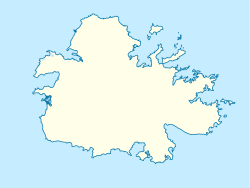
| Country | Antigua and Barbuda |
| Parish | Saint Mary |
| Division | Bermudian Valley |
Bermudian Valley is a ghost town in Saint Mary, Antigua and Barbuda. Bermudian Valley was granted town status in 1675, the designation establishing the settlement as one of six official places of trade. [1] [2] Bermudian Valley was the headtown of the eponymous Bermudian Valley Division, which continued to be a functioning administrative division after the town's depopulation. [3] Bermudian Valley was abadoned in 1842, around the same time as Bridgetown. [4] The present-day village of Ffryes is located where the town once stood. [5]