This article has multiple issues. Please help improve it or discuss these issues on the talk page . (Learn how and when to remove these messages)
|
Bilaal Ceel Lafoole | |
|---|---|
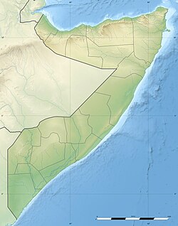 Bilaal Location in Somalia  Bilaal Bilaal (Africa) | |
| Coordinates: 3°22′37″N45°29′11″E / 3.37694°N 45.48639°E | |
| Country | |
| Region | Hiran |
| Elevation | 127 m (417 ft) |
| Population | |
• Total | 8,000 |
| Time zone | UTC+3 (EAT) |
| Area code | +252 |
Bilaal or El Bilal, is a village in the Hiran region of Somalia, [1] located 10 km (6.4 mi) west of Jalalaqsi and 145 km (90 mi) northwest of the Somalian capital Mogadishu. [2]