Bon Air Development | |
|---|---|
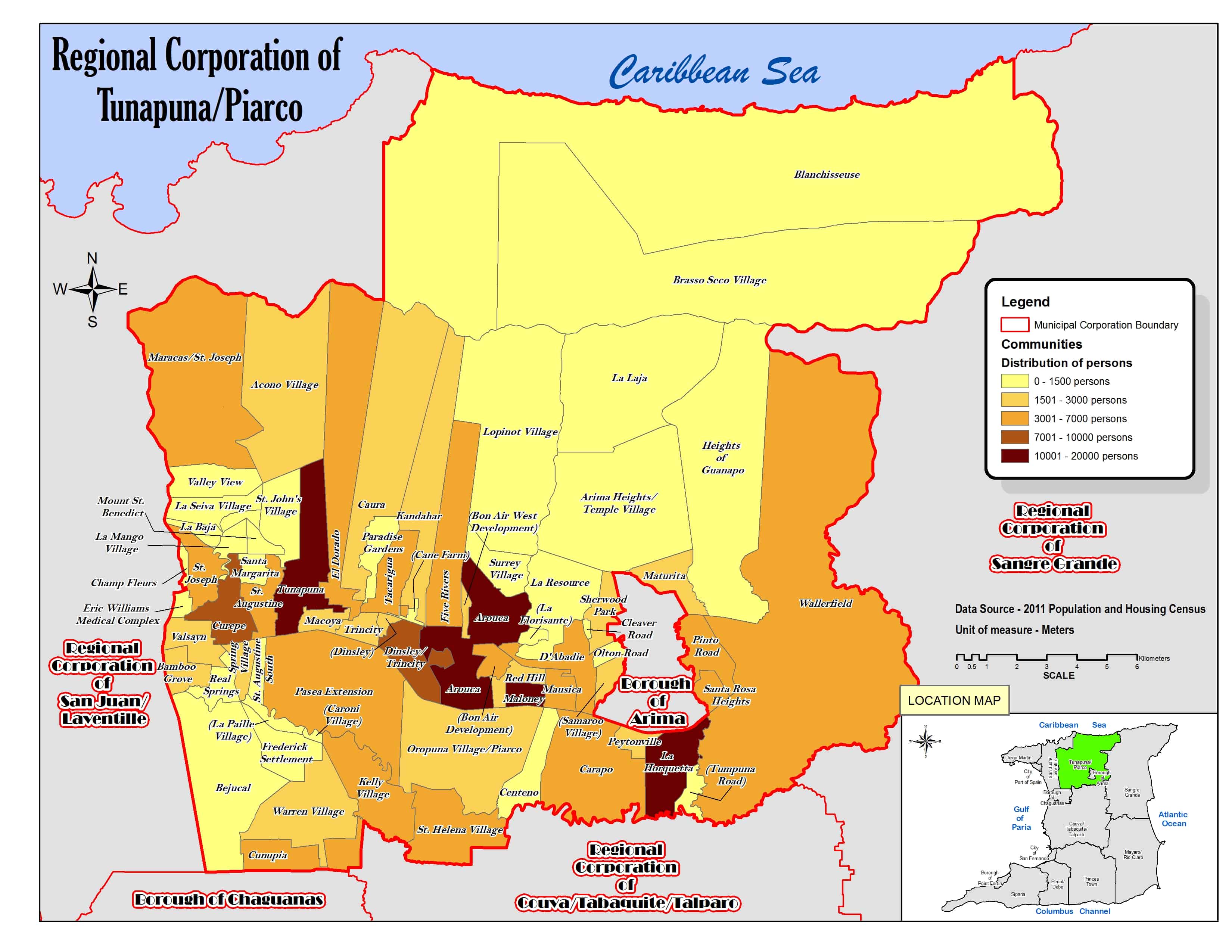
Locality | |
 | |
| Coordinates: 10°37′42.24″N61°19′42.96″W / 10.6284000°N 61.3286000°W | |
| Country | Trinidad and Tobago |
| Population (2011) | |
• Total | 5,748 |
Bon Air Development is a locality in Trinidad and Tobago, part of the Tunapuna-Piarco Region. [1] [2]
