Related Research Articles
Otago is a region of New Zealand located in the southern half of the South Island administered by the Otago Regional Council. It has an area of approximately 32,000 square kilometres (12,000 sq mi), making it the country's second largest local government region. Its population was 246,000 in June 2022.

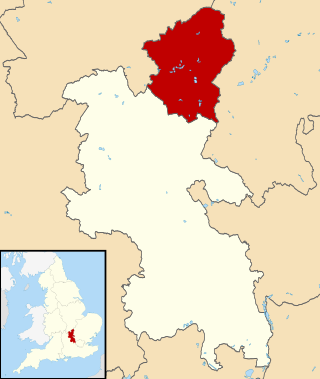
The City of Milton Keynes is a unitary authority area with both borough and city status, in Buckinghamshire. It is the northernmost district of the South East England Region. The borough abuts Bedfordshire, Northamptonshire and the remainder of Buckinghamshire.

A system of counties of New Zealand was instituted after the country dissolved its provinces in 1876, and these counties were similar to other countries' systems, lasting with little change until 1989, when they were reorganised into district and city councils within a system of larger regions.
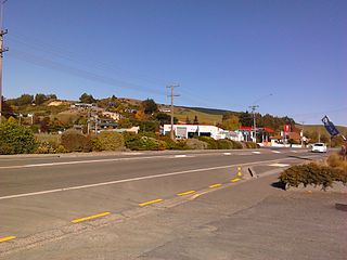
Kaitangata is a town near the coast of South Otago, New Zealand, on the left bank of the Matau Branch of the Clutha River ten kilometres south east of Balclutha. The town is known to its residents simply as Kai.

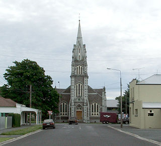
Milton, formerly known as Tokomairiro or Tokomairaro, is a town of over 2,000 people, located on State Highway 1, 50 kilometres to the south of Dunedin in Otago, New Zealand. It lies on the floodplain of the Tokomairaro River, one branch of which loops past the north and south ends of the town. This river gives its name to many local features, notably the town's only secondary school, Tokomairiro High School.

Clutha District is a local government district of southern New Zealand, with its headquarters in the Otago town of Balclutha. Clutha District has a land area of 6,334.47 km2 (2,445.75 sq mi) and an estimated population of 18,650 as of June 2022. Clutha District occupies the majority of the geographical area known as South Otago.
The Kaitangata Line, also known as the Kaitangata Branch in its first years of operation, was a railway line in Otago, New Zealand. It was built by a private company and was later acquired by the government's Mines Department, and operated from 1876 until 1970. It provided a link from coal mines to the Main South Line, and was never integrated into the network managed by the New Zealand Railways Department, thus although it could be seen as a branch line of the Main South Line, it officially never was.

The Ōwaka River, until 2019 officially the Owaka River, flows southeastward through The Catlins, an area of the southern South Island of New Zealand. Its total length is 30 kilometres (19 mi), and it shares the estuary of the Catlins River, flowing into the Pacific Ocean at Pounawea, 28 kilometres (17 mi) south of Balclutha. Its source is on the slopes of Mount Rosebery, 12 kilometres (7.5 mi) south of Clinton. The Ōwaka River is located within the Clutha District.
Papatowai is a small settlement in the Catlins ward of the Clutha District of the southeastern South Island of New Zealand. The settlement is situated half-way between the cities of Dunedin and Invercargill, on the Pacific coast close to the mouth of the Tahakopa River. There is a permanent population of around 40 people but with most of the houses in the town being holiday homes the population rises dramatically during the holiday seasons, particularly around New Year's Day and Easter.
The following lists events that happened during 1878 in New Zealand.

The township of Waihola lies between Dunedin and Milton, New Zealand in Otago, in New Zealand's South Island. It lies close to the southeast shore of the shallow tidal lake which shares its name.
Clutha was a New Zealand parliamentary electorate from 1866 to 1996.
The Hāwea River is a river of New Zealand, draining Lake Hāwea into the Clutha/Matau-au.
The Waitāhuna River, known until 2019 as Waitahuna River, is a river in the Clutha District of New Zealand, a tributary of the Clutha River.
Clutha County was one of the counties of New Zealand in the South Island. Its first meeting was on 4 January 1877 at the Balclutha courthouse. The offices on the corner of Clyde and Elizabeth Streets in Balclutha were rebuilt in 1934 and demolished in 2009. Clutha District Council began in November 1989 with amalgamation of Balclutha Borough, Clutha County, Lawrence Borough, Tapanui Borough, part of Tuapeka County and Bruce District Council. Bruce District Council had been formed in 1986 from Bruce County, Milton Borough and Kaitangata Borough.
Clutha District Council is the territorial authority for the Clutha District of New Zealand.
Port Molyneux is a tiny settlement on the coast of South Otago, New Zealand, close to the north-easternmost point of The Catlins. Now home only to farmland, it was a thriving port in the early years of New Zealand's European settlement.

Manuka Creek is a locality in Otago, New Zealand, on the banks of the Manuka Stream, a tributary of the Tokomairiro River. It is located a short distance to the east of State Highway 8. The Manuka Railway Station on the Roxburgh Branch line was located by it. Herbert Deveril and Albert Percy Godber photographed the railway station. The creek was once a busy site for gold mining.

The Southern District Health Board was a district health board which provided healthcare to an area covering the southern half of the South Island of New Zealand. In July 2022, the Southern DHB was dissolved as part of a nationwide overhaul of the district health board system. Its former functions and responsibilities were taken over by Te Whatu Ora.
References
- ↑ "Bruce County Council. BRUCE HERALD". paperspast.natlib.govt.nz. 5 January 1877. Retrieved 30 January 2022.
- ↑ "CONTACT DETAILS FOR GROUP". docplayer.net. Retrieved 30 January 2022.