This page is based on this
Wikipedia article Text is available under the
CC BY-SA 4.0 license; additional terms may apply.
Images, videos and audio are available under their respective licenses.

The Preseli Hills or, as they are known locally and historically, Preseli Mountains is a range of hills in north Pembrokeshire, West Wales, mostly within the Pembrokeshire Coast National Park.

Ponterwyd is a village in Ceredigion, Wales. It lies in the Cambrian Mountains of Mid Wales, approximately 12 miles (19 km) east of Aberystwyth on the A44 road.

Bwlch y Groes is the second highest public road mountain pass in Wales, with a summit altitude of 545 metres (1,788 ft). Gospel Pass in south Wales is slightly higher. It lies on minor roads linking Dinas Mawddwy, Llanuwchllyn and Lake Vyrnwy. The view from the pass encompasses the plain of the Dyfi valley, Cadair Idris and a close view of Aran Fawddwy. The cross, just below the summit at the junction of the roads from Vyrnwy and from Dinas Mawddwy, commemorates the place of the pass on a pilgrim route from north Wales.
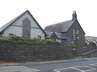
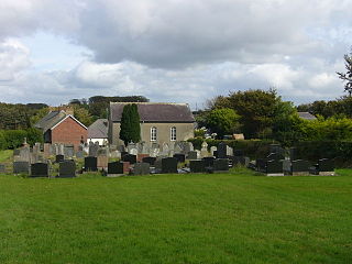
Penparcau is a village in Ceredigion, Wales situated to the south of Aberystwyth. It is the largest village in Ceredigion and is also an electoral ward. The village has the largest number of Welsh language speakers in the Aberystwyth Town area (1095)

Sychnant Pass in Conwy County Borough, Wales, links Conwy to Penmaenmawr via Dwygyfylchi. Much of the pass is in Snowdonia National Park, and a large area of land within it has been designated a Site of Special Scientific Interest.
At the bottom is the village of Capelulo, which lends its name to the community of Penmaenmawr.
Afon Ddu is the name of several rivers in Snowdonia in north-west Wales:

Plas Tan y Bwlch in Gwynedd, Wales is the Snowdonia National Park environmental studies centre, administered by the National Park Authority.
Tan-y-Bwlch is a nature reserve and beach located near Penparcau village on the outskirts of Aberystwyth, Wales. The reserve area was designated in 1999 following a public meeting. Owned by the Ceredigion County Council, the 100-acre (0.40 km2) site has two distinct features – the old hill fort of Pendinas and the shingle beach at Tan-y-bwlch. It it the largest Local Natture Reserve in the Dyfi Biosphere. The Wales Coastal Path runs along the top of the shingle bank, linking Aberystwyth to the South of Wales.
Mynydd Bach is located in the midlands of Ceredigion. It is a range of low hills, rather than a single mountain as its name suggests. The highest point reaches 329 meters above sea level. This area contains a few small villages and is an important place in Ceredigion’s cultural history.

Cwmdu or Llanfihangel Cwmdu is a small village and community situated in the heart of the Black Mountains in Powys, Wales. Its name is derived from the Welsh language "Cwm Du", which means 'Black Valley'. It is located on the A479 Talgarth to Tretower road. Nearby towns include Crickhowell and Abergavenny.
The population of the community, Llanfihangel Cwmdu with Bwlch and Cathedine, which includes Cwmdu and nearby villages Bwlch, Tretower and Cathedine, as of the 2011 UK Census was 1026. It is in the historic county of Brecknockshire.

Nantymoel or Nant-Y-Moel is a village and includes the formerly separate village of Pricetown in the county borough of Bridgend, Wales on the River Ogmore, and is one of the constituent villages of the Ogmore Valley. It is bordered by the village of Wyndham to the south and by the Bwlch y Clawdd hill to the north.
Banc y Mwldan is a Site of Special Scientific Interest in Ceredigion, west Wales.
Cors Bwlch-y-baedd is a Site of Special Scientific Interest in Ceredigion, west Wales.
Cors y Sychnant is a Site of Special Scientific Interest in Ceredigion, west Wales.
Parc-y-rhos is a Site of Special Scientific Interest in Ceredigion, west Wales.
Rhos Bwlch-y-rhandir is a Site of Special Scientific Interest in Ceredigion, west Wales.