
The Bay of Quinte is a long, narrow bay shaped like the letter "Z" on the northern shore of Lake Ontario in the province of Ontario, Canada. It is just west of the head of the Saint Lawrence River that drains the Great Lakes into the Gulf of Saint Lawrence. It is located about 200 kilometres (120 mi) east of Toronto and 350 kilometres (220 mi) west of Montreal.

The Northumberland Strait is a strait in the southern part of the Gulf of Saint Lawrence in eastern Canada. The strait is formed by Prince Edward Island and the gulf's eastern, southern, and western shores.
Summerside is a Canadian city in Prince County, Prince Edward Island. It is the second largest city in the province and the primary service centre for the western part of the island.

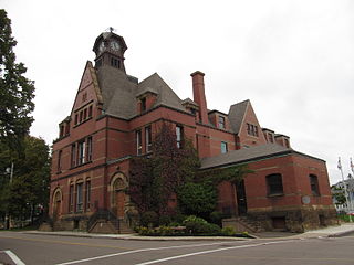
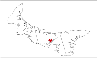
Kings County is located in eastern Prince Edward Island, Canada.

Cavendish is an unincorporated rural community in the township of Lot 23, Queens County, Prince Edward Island, Canada.
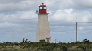
Basin Head is a cape in Lot 47, Kings County, Prince Edward Island, Canada.

Basin Head Provincial Park is a provincial park located in Basin Head, Prince Edward Island, Canada. It is best known by its nickname "Singing Sands", in reference to the pure white sand that "sings" when stepped on, due to a high silica content. This sand is geologically unique to the area.
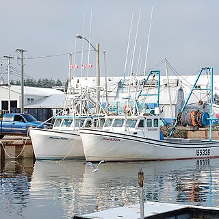
Murray Harbour is a community that holds rural municipality status in Prince Edward Island, Canada. It is located in southeastern Kings County.

Wood Islands is a rural farming and fishing community located in southeastern Queens County, Prince Edward Island on the Northumberland Strait. It takes its name from several small forested islands, then located several hundred metres offshore in the Northumberland Strait. The community of Wood Islands falls within the larger PEI Township of Lot 62, which had a population in 2011 of 470 residents, a 13% decrease from the 2006 census count of 540. While the named islands are located on maps by Jacques-Nicolas Bellin: Karte Bellin, 1744: 'I a Bova' and Louis Franquet: Cartes Franquet, 1751: 'Isle a Bois', it was Samuel Johannes Holland who correctly surveyed and depicted the islands, about their basin. The 'European' settlement of Wood Islands began in 1803, but saw its most noted arrivals in 1807 with the arrival, after wintering in Pinette, of a large party of Scottish settlers from the Spencer.
Greenwich is an unincorporated Canadian rural community located in eastern Prince Edward Island, Canada.

Dalvay-by-the-Sea is a National Historic Site of Canada located on the north shore of Prince Edward Island at the eastern end of Prince Edward Island National Park. The most significant feature of Dalvay is the Queen Anne Revival style hotel, originally constructed as a home for an American industrialist.
Ascension Road, labelled Route 160, is a 2-lane collector highway in western Prince County, Prince Edward Island, Canada. It is located 2 miles (3.2 km) NW of the community of Tignish. Its maximum speed limit is 80 kilometres per hour (50 mph).
Sherwood is a neighbourhood of the city of Charlottetown in central Queens County, Prince Edward Island, Canada.

Palmer Road, labelled Route 156, is a 2-lane collector highway in western Prince County, Prince Edward Island, Canada. It is between the communities of Tignish and Miminegash. Its maximum speed limit is 80 km/h (50 mph). The road is considered part of two larger communities, Tignish and Miminegash.

Fortune Bridge is a small unincorporated area on Lot 43, East Parish, King County, Prince Edward Island, Canada. It is located west of the Town of Souris.
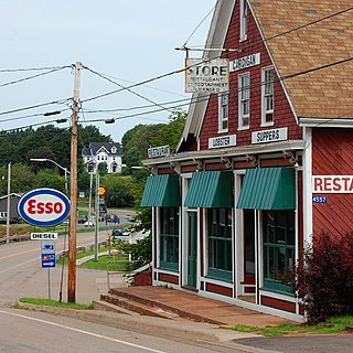
Cardigan was a municipality that held community status in Prince Edward Island, Canada. It was a fishing community in eastern Kings County.
Cascumpec Bay is within Prince Edward Island in Canada and is adjacent to the Gulf of Saint Lawrence.
Orwell is a settlement in Queens County, Prince Edward Island.
Lower Montague was a municipality that held community status in Prince Edward Island, Canada. It was located to the east of Montague.
Naufrage is a community in Kings County, Prince Edward Island, Canada, in the northeast section of the province in Lot 43.
