Smithflat is an unincorporated community in El Dorado County, California, United States. It lies 4 km (2.5 mi) east of Placerville and 7.2 km (4.5 mi) west of Camino at an elevation of 2224 feet.
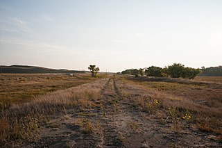
Rose is an unincorporated community in Rock County, Nebraska, United States, located on the east side of U.S. Route 183. As of 2015, the hamlet consisted of two houses.
Lillian is an unincorporated community in Custer County, Nebraska, United States.
Milburn is an unincorporated community in Custer County, Nebraska, United States. It is located within the boundaries of the 68813 Zip code, serviced out of Anselmo, Nebraska. It is also located at the northwestern edge of the Milburn Township boundary. It is in Nebraska State Senate district 43.
Weissert is an unincorporated community in Custer County, Nebraska, United States. There is a post office, a small general store, a church and a grange located there, along with a few homes.
Dustin is an unincorporated community in Holt County, Nebraska, United States.
Inez is an unincorporated community in Holt County, Nebraska, United States.
Paddock is an unincorporated community in Holt County, Nebraska, United States.
Brocksburg is a former village in Keya Paha County, Nebraska, United States.
Riverview is an unincorporated community in Keya Paha County, Nebraska, United States.

Jelen is an unincorporated community in Knox County, Nebraska, United States.

Mariaville is an unincorporated community in Rock County, Nebraska, United States.
Sybrant is an unincorporated community in Rock County, Nebraska, United States.
Prairie Center is an unincorporated community in Buffalo County, Nebraska, United States.

Leat is an unincorporated community in Cherry County, Nebraska, United States.
Round Valley is an unincorporated community in Custer County, Nebraska, United States.
Elton is a ghost town in Custer County, Nebraska, United States.

Abdal is an extinct town in Nuckolls County, in the U.S. state of Nebraska.
Armour is an extinct town in Pawnee County, in the U.S. state of Nebraska.
Benevolence is an unincorporated community in Randolph County, in the U.S. state of Georgia.


