| Cashel Cairn | |
|---|---|
| Native name Irish: Carn an Chaisil | |
 Location of Cashel Cairn in Ireland | |
| Type | cairn |
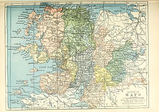
| Location | Cashel, Kilcummin, County Mayo, Ireland |
| Coordinates | 54°15′20″N9°13′36″W / 54.255556°N 9.226667°W Coordinates: 54°15′20″N9°13′36″W / 54.255556°N 9.226667°W |
| Area | 1,180 m2 (12,700 sq ft) |
| Elevation | 28 m (92 ft) |
| Built | 4000–2500 BC |
| Official name: Cashel Cairn | |
| Reference no. | 483 |
Cashel Cairn is a cairn and National Monument located in County Mayo, Ireland.

A cairn is a human-made pile of stones. The word cairn comes from the Scottish Gaelic: càrn[ˈkʰaːrˠn̪ˠ].

County Mayo is a county in Ireland. In the West of Ireland, in the province of Connacht, it is named after the village of Mayo, now generally known as Mayo Abbey. Mayo County Council is the local authority. The population was 130,507 at the 2016 census. The boundaries of the county, which was formed in 1585, reflect the Mac William Íochtar lordship at that time.

Ireland, also known as the Republic of Ireland, is a country in north-western Europe occupying 26 of 32 counties of the island of Ireland. The capital and largest city is Dublin, which is located on the eastern part of the island, and whose metropolitan area is home to around a third of the country's over 4.8 million inhabitants. The sovereign state shares its only land border with Northern Ireland, a part of the United Kingdom. It is otherwise surrounded by the Atlantic Ocean, with the Celtic Sea to the south, Saint George's Channel to the south-east, and the Irish Sea to the east. It is a unitary, parliamentary republic. The legislature, the Oireachtas, consists of a lower house, Dáil Éireann, an upper house, Seanad Éireann, and an elected President who serves as the largely ceremonial head of state, but with some important powers and duties. The head of government is the Taoiseach, who is elected by the Dáil and appointed by the President; the Taoiseach in turn appoints other government ministers.