Related Research Articles
Wakatomika Creek is a tributary of the Muskingum River, 42.6 mi (68.6 km) long, in central Ohio in the United States. Via the Muskingum and Ohio Rivers, it is part of the watershed of the Mississippi River, draining an area of 234 mi² (606 km²)
Bokes Creek is a stream in the U.S. state of Ohio. It is a tributary of the Scioto River.
Hopewell is a former unincorporated community in Hopewell Township, Seneca County, Ohio, United States. The U.S. Geographic Names Information System (GNIS) lists the location of Hopewell as Unknown.
Turtle Creek is a 13.7-mile-long (22.0 km) tributary of the Little Miami River in Turtlecreek Township, Warren County, Ohio, which takes its name from this creek. Turtle Creek is named for Chief Little Turtle, of the Miami Indian Tribe Turtle Creek is a tributary within the Little Miami and Ohio River watersheds.
Conotton Creek is a tributary of the Tuscarawas River, 38.7 miles (62.3 km) long, in eastern Ohio in the United States. Via the Tuscarawas, Muskingum and Ohio Rivers, it is part of the watershed of the Mississippi River, draining an area of 286 square miles (741 km2) in Carroll, Harrison and Tuscarawas County, Ohio. The source is at 1240 feet and the mouth is at 874 feet. Dover Dam, downstream on the Tuscarawas river, is normally dry, but can impound a reservoir on Conotton and tributaries to a pool elevation of 916 feet for downstream flood control by the Corps of Engineers. From its source in eastern Harrison County, Ohio the creek flows west northwest through Jewitt, Scio, Conotton, Bowerston, Leesville, Sherrodsville, New Cumberland and Somerdale before reaching its mouth in central Tuscarawas County, Ohio. The Wheeling and Lake Erie Railway is situated in the valley. Ohio State Route 151 runs in the valley from near the source to Bowerston. Ohio State Route 212 run along the valley from Bowerston to the mouth. The Conotton Creek Trail runs from Bowerston to Jewett.

Wolf Creek is a 19.8-mile-long (31.9 km) tributary of the Great Miami River in southwestern Ohio in the United States. It rises in western Montgomery County, northwest of Brookville, and flows generally southeast, passing through the center of Trotwood and joining the Great Miami in downtown Dayton.
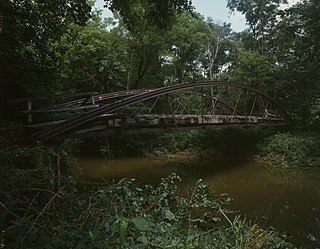
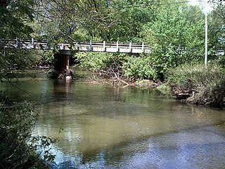
Slate Run is a tributary to the Scioto River; it flows through the Northwest corner of Upper Arlington, Ohio. The creek gets its name from the slate that makes up the creek bed. It winds through a ravine and has several small, yet prominent waterfalls. The creek is mainly fed by storm water runoff which makes the creek very susceptible to running dry during extended periods of no rain.

McKays is an unincorporated community in Clinton County, Ohio, United States.
Todd Fork is a stream in Clinton and Warren counties, Ohio, in the United States. It is a tributary of the Little Miami River.

Anderson Fork is a stream in Clinton and Greene counties, Ohio, in the United States.
Swamp Creek is a stream in Preble County, Ohio, in the United States.
Sevenmile Creek is a stream in Preble County and Butler County, Ohio, in the United States. Sevenmile Creek is a tributary of Four Mile Creek. Beasley Run is a tributary of the creek.
Four Mile Creek is a stream in Preble County and Butler County, Ohio, in the United States.
Bokengehalas Creek is a stream in the U.S. state of Ohio. It is a tributary of the Great Miami River.
McKees Creek is a stream in the U.S. state of Ohio. It is a tributary of Stony Creek.

Cherokee is an unincorporated community in Logan County, in the U.S. state of Ohio.

New Jerusalem is an unincorporated community in Logan County, in the U.S. state of Ohio.
Cherokee Mans Run is a stream located entirely within Logan County, Ohio.
References
| | This Logan County, Ohio state location article is a stub. You can help Wikipedia by expanding it. |
| | This article related to a river in Ohio is a stub. You can help Wikipedia by expanding it. |