
Harwinton is a town in Litchfield County, Connecticut, United States. The population was 5,484 at the 2020 census. The town is part of the Northwest Hills Planning Region. The town is served by Regional School District 10.

Northwest Harwinton is a census-designated place (CDP) in the town of Harwinton in Litchfield County, Connecticut, United States. The population was 3,158 at the 2020 census, out of 5,484 in the entire town. The CDP contains the town center.

Thomaston is a town in Litchfield County, Connecticut, United States. The town is part of the Naugatuck Valley Planning Region. The population was 7,442 at the 2020 census. The urban center of the town is the Thomaston census-designated place, with a population of 1,928 at the 2020 census.

U.S. Route 3 (US 3) is a United States Numbered Highway running 277.90 miles (447.24 km) from Cambridge, Massachusetts, through New Hampshire, to the Canada–United States border near Third Connecticut Lake, where it connects to Quebec Route 257.
The Naugatuck River Valley is the watershed area of the Naugatuck River in the western part of Connecticut. The Naugatuck Valley straddles parts of Litchfield County, New Haven, and Fairfield counties. The Route 8 corridor and Waterbury Branch of the Metro-North railroad line run along the river valley. Geographically, it comprises the municipalities located within the Naugatuck River basin. During the 19th and 20th centuries, the area was one of the main manufacturing centers in New England, and most of the communities around the river were emblematic New England mill towns.
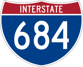
Interstate 684 (I-684) is a 28.53-mile (45.91 km) auxiliary Interstate Highway in the state of New York in the United States. There is also a short portion in Connecticut with no junctions. The highway connects I-84 with I-287 and the Hutchinson River Parkway, primarily serving commuter traffic to and from the northern suburbs of the New York metropolitan area. Most of the route is in northern Westchester County. The route of the highway was originally designated as part of I-87 from 1968 to 1970. The first section of the roadway opened to traffic in October 1968, and the final segment was completed in December 1974.

New Hampshire Route 25 is a 96.62-mile (155.49 km) long east–west state highway in New Hampshire. It runs completely across the state from Vermont to Maine.

Route 17 is a primary north–south state route beginning in New Haven, through Middletown, and ending in Glastonbury, with a length of 36.33 miles (58.47 km).

Route 8 is a 67.36-mile (108.41 km) state highway in Connecticut that runs north–south from Bridgeport, through Waterbury, all the way to the Massachusetts state line where it continues as Massachusetts Route 8. Most of the highway is a four-lane freeway but the northernmost 8.8 miles (14.2 km) is a two-lane surface road.

Route 3 is a 14.45-mile-long (23.26 km) route connecting Middletown to Glastonbury. It passes through the towns of Cromwell, Rocky Hill, and Wethersfield. The northernmost 3 miles (4.8 km) of Route 3 is a freeway that was originally intended for the cancelled Interstate 491.
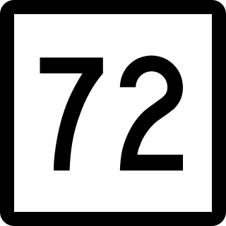
Route 72 is a state highway in the western part of the Greater Hartford area. Route 72 is an L-shaped route with a north–south section in Plymouth and Harwinton and an east–west section from Bristol to New Britain. Route 72 is a freeway from Route 9 in New Britain to Route 372 in Plainville. Although ConnDOT logs it as a north-south route, it is signed as east-west.

Route 68 is an east–west state highway in the U.S. state of Connecticut connecting the towns of Durham and Naugatuck.

U.S. Route 6 (US 6) within the state of Connecticut runs for 116.33 miles (187.21 km) from the New York state line near Danbury to the Rhode Island state line in Killingly. West of Hartford, the route either closely parallels or runs along Interstate 84 (I-84), which has largely supplanted US 6 as a through route in western Connecticut. East of Hartford, US 6 serves as a primary route for travel between Hartford and Providence.

U.S. Route 5 (US 5), a north–south United States Numbered Highway that is generally paralleled by Interstate 91 (I-91), begins at the city of New Haven in Connecticut and heads north through western Massachusetts and eastern Vermont to the international border with Canada. Within Connecticut, US 5 proceeds north from New Haven and passes through Meriden and Hartford toward Springfield, Massachusetts.

Mattatuck State Forest is an American state forest in the state of Connecticut, spread over twenty parcels in the towns of Waterbury, Plymouth, Thomaston, Watertown, Litchfield, and Harwinton. The Naugatuck River runs through a portion of the forest. The largest section of the forest is located about 1 mile (1.6 km) north of Waterbury. The Leatherman's Cave, named after the vagabond Leatherman of the late 19th century, is located in Thomaston near the Mattatuck Trail, 1/4 mile west of the junction with the Jericho Trail.

Route 118 is a state highway in northwestern Connecticut, running from the borough of Litchfield via the village of East Litchfield to the town center of Harwinton. Route 118 is a scenic road at both ends. The 2.8-mile (4.5 km) section from the western terminus at the Litchfield green to the village of East Litchfield, and the 0.1-mile (0.16 km) section within the town center of Harwinton have both been designated by the state as scenic roads.
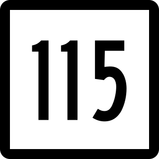
Route 115 is a Connecticut state highway in the Lower Naugatuck River Valley area, running from Route 34 in Derby to Route 67 in Seymour. The road runs along the east bank of the lower Naugatuck River.

Route 254 is a state highway in northwestern Connecticut running from Thomaston to Litchfield.

Route 262 is a state highway in west central Connecticut running in a "U" pattern from Watertown to Plymouth.

U.S. Route 44 (US 44) is an east–west United States Numbered Highway that runs for 237 miles (381 km) through four states in the Northeastern United States. The western terminus is at US 209 and New York State Route 55 (NY 55) in Kerhonkson, New York, a hamlet in the Hudson Valley region. The eastern terminus is at Route 3A in Plymouth, Massachusetts.

