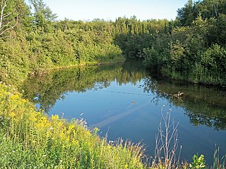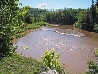
Gogebic County is the westernmost county in the Upper Peninsula in the U.S. state of Michigan. As of the 2010 census, the population was 16,427. The county seat is Bessemer. This was historically part of the territory of the Lake Superior Band of Chippewa, which had twelve bands in Michigan, Wisconsin and Minnesota. The Lac Vieux Desert Indian Reservation is in this county, in Watersmeet Township, as the land base of one of the federally recognized tribes.

McMillan Township is a civil township of Ontonagon County in the U.S. state of Michigan. The population was 601 at the 2000 census.

Ontonagon is a village in the U.S. state of Michigan. The population was 1,494 at the 2010 census. It is the county seat of Ontonagon County.
Firesteel River is an 18.3-mile-long (29.5 km) river in Ontonagon County on the Upper Peninsula of the U.S. state of Michigan. The river flows generally northwest between the Flintsteel River and the West Sleeping River and empties into Lake Superior. Branches of the river are identified as the West Branch and East Branch, and the river receives Black Creek about three miles north of the junction of the two main branches.

The Mineral River is an 18.7-mile-long (30.1 km) tributary of Lake Superior on the western Upper Peninsula of Michigan in the United States. It flows for its entire length in western Ontonagon County, rising in the Ottawa National Forest and flowing generally northward to meet Lake Superior about 11 miles (18 km) west-southwest of Ontonagon. The United States Board on Geographic Names settled on "Mineral River" as the stream's name in 1976; according to the Geographic Names Information System it has also been known historically as "Beaver Creek".

Lake Duluth was a proglacial lake that formed in the Lake Superior drainage basin as the Laurentide ice sheet retreated. The oldest existing shorelines were formed after retreat from the Greatlakean advance, sometime around 11,000 years B.P. Lake Duluth formed at the western end of the Lake Superior basin. Lake Duluth overflowed south through outlets in Minnesota and Wisconsin at an elevation of around 331 m above sea level.

The Ontonagon River is a river flowing to Lake Superior on the western Upper Peninsula of Michigan in the United States. The main stem of the river is 25 miles (40 km) long and is formed by a confluence of several longer branches, portions of which have been collectively designated as a National Wild and Scenic River. Several waterfalls occur on the river including Agate Falls and Bond Falls.

White Pine is an unincorporated community and census-designated place in Ontonagon County in the U.S. state of Michigan. As of the 2010 census, its population was 474.
The East Sleeping River is a 21.3-mile-long (34.3 km) river in Ontonagon County, Michigan, in the United States. It is a tributary of Lake Superior.
The Pelton River is a 5.9-mile-long (9.5 km) tributary of the Slate River in Gogebic County on the Upper Peninsula of Michigan in the United States. Via the Slate River, its water flows to Lake Gogebic, which feeds the West Branch Ontonagon River, flowing to the Ontonagon River and ultimately to Lake Superior.
The West Sleeping River is an 8.5-mile-long (13.7 km) river in Ontonagon County, Michigan, in the United States. It is a tributary of Lake Superior.
Carp River is the name of several rivers in the U.S. state of Michigan.
Floodwood River is an 11.0-mile-long (17.7 km) river in Ontonagon County in the U.S. state of Michigan.
Carp River is a 10.3-mile-long (16.6 km) river in Gogebic and Ontonagon counties in the U.S. state of Michigan. The Carp River is formed by the outflow of the Lake of the Clouds at 46°48′04″N89°45′38″W in the Porcupine Mountains of the Upper Peninsula.
Little Carp River is a 15-mile-long (24 km) river in Gogebic and Ontonagon counties in the U.S. state of Michigan. The Carp River rises at 46°45′54″N89°44′44″W in the Porcupine Mountains of the Upper Peninsula.
The Adventure Mine is a copper mine in Greenland Township, near Greenland, Michigan in Ontonagon County, Michigan that operated from 1850 to 1920. The mine has five shafts. It is open for tours from late May to mid-October, under the operation of the Adventure Mining Company.
The Victoria Mine is the name given to a series of copper mines located in Rockland Township, Ontonagon County, in Michigan's Copper Country. It was near this location that a large piece of float copper, known as the Ontonagon Boulder, was found. The mine operated off and on from 1849 until its final closure in 1921. Most of the metal found there was low grade native copper from the Forest Lode. Quartz, epidote, calcite, prehnite, and pumpellyite are also found in the rock.
Choate Creek is a stream in Ontonagon County, Michigan, in the United States.
Craigsmere is an unincorporated community in Ontonagon County, in the U.S. state of Michigan.


