Apolo is a location in the Franz Tamayo Province in the La Paz Department, Bolivia, South America, with a population of 2,123 in the year 2001. It is the seat of the Apolo Municipality.
Ayopaya or Independencia is a town in the Cochabamba Department, Bolivia. It is the capital of the Ayopaya Province and Ayopaya Municipality. At the time of census 2001 it had a population of 2,014.
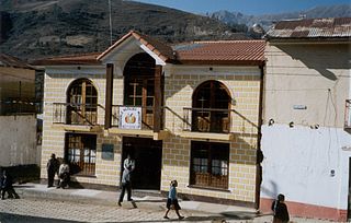
Inquisivi is the capital of the Inquisivi Province in the La Paz Department, Bolivia. It was officially named on November 2, 1844. Residents of Inquisivi are called Inquisivenos.

Achacachi is a town on the Altiplano plateau in the South American Andes in the La Paz Department in Bolivia. It is the capital of the Omasuyos Province.

Guayaramerín is a city within the Bolivian Beni Department. It is the capital of the Guayaramerín Municipality in the Vaca Díez Province. Guayaramerín is located on the west side of the Mamoré River, facing the Brazilian city of Guajará-Mirim. It is a port in which there is a permanent port of the Bolivian Navy. Guayaramerín Airport is south of the city, and served by Ecojet.

Entre Ríos is a town in the Bolivian Tarija Department.
Uriondo is a town in the Bolivian Tarija Department.

Iscayachi is a sparsely populated town in the Bolivian high valleys, located at the Eustaquio Méndez province Junction, north Tarija, at an elevation of 2,915 meters. The population is reported to be 1,153.
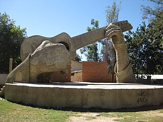
Aiquile is a town in the Cochabamba Department, Bolivia. It is the capital of the Narciso Campero Province and Aiquile Municipality. Most of its population is Quechua, and its residents are reputed to be the best charango makers in the country.
Anzaldo is a location in the Cochabamba Department in central Bolivia. It is the seat of the Anzaldo Municipality, the second municipal section of the Esteban Arce Province.
Batallas is a location in the La Paz Department in Bolivia. It is the seat of the Batallas Municipality, one of the four municipalities of the Los Andes Province.
Coripata is a town in the La Paz Department, Bolivia.
Santiago de Andamarca is a small location in Bolivia in the Oruro Department, Sud Carangas Province. It is the seat of the Santiago de Andamarca Municipality. In 2010 the village had an estimated population of 374.
Chaguaya is a small town in Bolivia. In 2009 it had an estimated population of 858.
Chuquiña is a small town in Bolivia. In 2009 it had an estimated population of 1048.

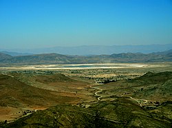
Curahuara de Carangas is a small town in the Bolivian Oruro Department. It is the seat of the Sajama Province. In 2009 it had an estimated population of 1,581.
El Puente is a municipality in Bolivia. In 2009 it had an estimated population of 3032.
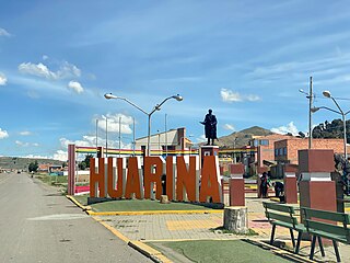
Huarina is a location in the La Paz Department in Bolivia. It is the seat of the Huarina Municipality, one of the four municipalities of the Omasuyos Province. President of Peru Andrés de Santa Cruz was born here.
Saavedra (Santa Cruz) is a small town in Bolivia.

Azurduy Municipality is the first municipal section of Azurduy Province in the Chuquisaca Department of Bolivia. Its seat is Villa Azurduy. In 2012 the population was 10,594 persons. The municipality is very poor; in 2010 93% were below the poverty line, and 75% were in extreme poverty. In 2001 there were seven automobiles in the municipality.