De Haar | |
|---|---|
 TT Circuit Assen | |
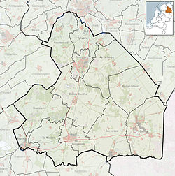  De Haar Location in province of Drenthe in the Netherlands 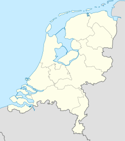 De Haar De Haar (Netherlands) | |
| Coordinates: 52°58′3″N6°32′9″E / 52.96750°N 6.53583°E | |
| Country | Netherlands |
| Province | Drenthe |
| Municipality | Assen |
| Elevation | 10 m (33 ft) |
| Time zone | UTC+1 (CET) |
| • Summer (DST) | UTC+2 (CEST) |
| Postal code | 9405 |
| Dialing code | 0592 |
De Haar is a hamlet in the Netherlands and is part of the Assen municipality in Drenthe. The TT Circuit Assen is located in the hamlet. [2]
De Haar is not a statistical entity, [3] and the postal authorities have placed it in Assen. [4] It was first mentioned in the 1850s and means "sandy ridge". [5]
Most of the farms have been torn down for the military training ground De Haar. [6]
