Related Research Articles
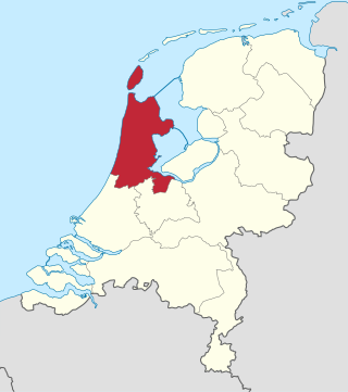
North Holland is a province of the Netherlands in the northwestern part of the country. It is located on the North Sea, north of South Holland and Utrecht, and west of Friesland and Flevoland. As of January 2023, it had a population of about 2,952,000 and a total area of 4,092 km2 (1,580 sq mi), of which 1,429 km2 (552 sq mi) is water.

Haarlemmermeer is a municipality in the west of the Netherlands, in the province of North Holland. Haarlemmermeer is a polder, consisting of land reclaimed from water. The name Haarlemmermeer means 'Haarlem's lake', referring to the body of water from which the region was reclaimed in the 19th century.

Hillegom is a town and municipality in the Western Netherlands, in the province of South Holland. Hillegom is part of an area called the Duin- en Bollenstreek. As such, a large portion of the local economy was traditionally geared to the cultivation of bulb flowers.

Ter Aar is a town and former municipality in the western Netherlands, in the province of South Holland. It is located about 6 km northeast of Alphen aan den Rijn. The town had a population of 9,007 on 1 July 2006.

Zouteveen is a neighbourhood in the municipality Midden-Delfland in the province South Holland in the Netherlands. It is located between Vlaardingen and Delft, about 3 km south of the town of Schipluiden. There are two hamlets in this area: Negenhuizen and De Kapel.
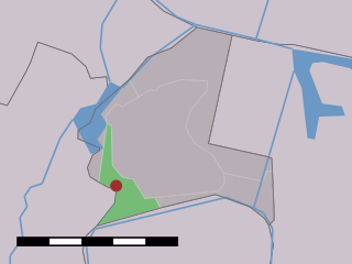
Haarlemmerliede is a small village in the Dutch province of North Holland. It is a part of the municipality of Haarlemmermeer and lies about 4 km (2.5 mi) east of Haarlem.

's-Gravesloot is a former hamlet and municipality in the Dutch province of Utrecht. It was located between Kamerik and Woerden.
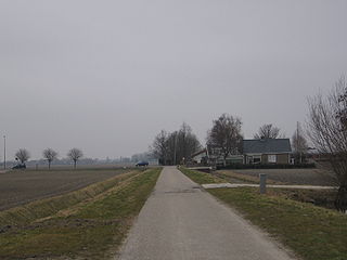
Benthorn is a hamlet in the Dutch province of South Holland. It is located in the municipality of Alphen aan den Rijn, about 2 km east of the centre of Benthuizen.
Broek was a municipality in the Dutch province of South Holland, located west and north of Gouda. A longer name of the municipality, Broek, Bloemendaal, Broekhuizen, Thuil en het Weegje names the polders that are part of the municipality.

Groeneveld is a former municipality in the Dutch province of South Holland. It was located to the west of the city of Delft. The municipality covered the Groeneveldse Polder, northwest of De Lier, and contained no towns or villages; only the hamlet of Lierhand.
Hofwegen is a hamlet in Molenlanden, which is a municipality in the Dutch province of South Holland. It is located on the south bank of the small river Graafstroom. It is now considered to be part of the village of Bleskensgraaf, which lies on the opposite bank.
Tempel, also known as De Tempel, is a former municipality and former manorial estate in the Dutch province of South Holland. It was located about 3 km southwest of the center of the current village of Berkel en Rodenrijs.
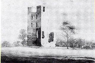
Vliet is a hamlet in the Dutch province of Utrecht. It is located about 1 km southwest of the city of Oudewater, on the south bank of the Hollandsche IJssel.
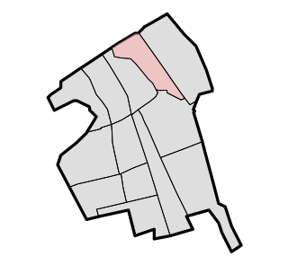
Vrijenban is a neighborhood of Delft in the Netherlands province of South Holland. It is located on the northeast boundary of the historic city center of Delft. Prior to being merged into Delft, Vrijenban used to be a municipality in its own right.
Vrije en Lage Boekhorst is a former municipality in the Dutch province of South Holland. It was located to the west of the hamlet of Zevenhuizen in the former municipality of Alkemade.

Vrijhoef en Kalverbroek is a former heerlijkheid (manor) and municipality in the Dutch province of South Holland. It was located about 3 km east of the city of Gouda, in the current municipality of Reeuwijk. The area of the former municipality is now almost completely covered by the lakes of the Reeuwijksche Plassen.
Vrijhoeven is a former hamlet and former municipality in the Dutch province of South Holland. It is located about 2 km south of the village of Ter Aar.

The Duin- en Bollenstreek is a region in the Western Netherlands, that features coastal dunes and the cultivation of flower bulbs. Situated at the heart of historical Holland nearby the city of Leiden, South Holland, it is bordered by The Hague to the west and Haarlem to the north. The combination of beaches, flower fields, lakes and history makes this area attractive to tourists.

The Kagerplassen is a small lake system in South Holland located to the northeast of Leiden. The Kaag Lakes are a popular area for boating, watersports, fishing, camping and walking. Windmills, waterfront pasture land (weilanden) with grazing animals, quaint Dutch boats and buildings and flower fields are all part of the charm of boating and walking in this area.
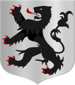
De Lek was a heerlijkheid (manor) and municipality in the Netherlands, located in the province South Holland. It is named after the Lek River.
References
- 1 2 Abraham Jacob van der Aa , "Aardrijkskundig woordenboek der Nederlanden", vol. 11 (T-V), 1848.
- ↑ Ad van der Meer; Onno Boonstra (2006). "Repertorium van Nederlandse gemeenten". KNAW. Archived from the original on 2007-02-20. Retrieved 2009-12-03.
52°16′06″N4°37′44″E / 52.268367°N 4.629021°E