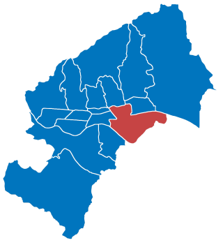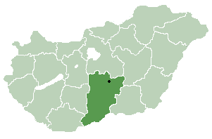
Peščenica – Žitnjak is a city district in the southeastern part of Zagreb, Croatia. It consists of two parts: Peščenica, a set of neighborhoods; and Žitnjak, a large industrial zone on the city outskirts, and has a total population of 56,487.

Hrvatsko Zagorje is a cultural region in northern Croatia, traditionally separated from the country's capital Zagreb by the Medvednica mountains. It comprises the whole area north of Mount Medvednica up to Slovenia in the north and west, and up to the regions of Međimurje and Podravina in the north and east. The population of Zagorje is not recorded as such, as it is administratively divided among Krapina-Zagorje County, and western and central part of Varaždin County. The population of Zagorje can be reasonably estimated to exceed 300,000 people.

Hajós is a town in Bács-Kiskun County, Hungary.

Bešenovački Prnjavor is a village in Serbia. It is situated in the Sremska Mitrovica municipality, in the Syrmia District, Vojvodina province. The village has a Serb ethnic majority and it is the smallest village in the municipality - its population numbering 145 people. Near the village is Bešenovo monastery, one of 16 Serb Orthodox monasteries on Fruška Gora mountain.

Vajska is a village in Serbia. It is situated in the Bač municipality, in the South Bačka District, Vojvodina province. Two neighbouring settlements, Labudnjača and Živa, are also officially regarded as parts of Vajska although they are physically separated from it. The name Labudnjača is derived from Serbian labud 'swan'.

Vaskút is a large village in Bács-Kiskun county, in the Southern Great Plain region of southern Hungary.
Csikéria is a village in Bács-Kiskun County, in the Southern Great Plain region of Hungary.

Öregcsertő is a village in Bács-Kiskun county, in the Southern Great Plain region of southern Hungary.

Goričan is a municipality in Međimurje County, Croatia.
Buševec is the name of a Croatian village that falls under the administration of the town of Velika Gorica. It is placed at the Turopolje area at the highway between Zagreb and Sisak. The village has 886 inhabitants, and its postal code is 10417.
Lepajci is a village in Croatia. It is connected by the D1 highway.
Peršaves is a village in Croatia. It is connected by the D29 highway.

Vukovina is a village in Croatia. It is connected by the D30 highway.
Velika Mučna is a village in Croatia. It is connected by the D41 highway.

Novo Čiče is a village in Croatia, situated about 4 km south east from center of Velika Gorica. Novo Čiče is well known for its lake, created by gravel mining.
Ladislavec is a village in Croatia.
Jerovec is a village in northern Croatia.
Plavić is a village in Croatia.
Gorjakovo is a village in Croatia.
Repno is a village in Croatia.


