Brod-Posavina County is the southern Slavonian county in Croatia. Its center is the city of Slavonski Brod and it spreads along the left bank of the Sava river, hence the name Posavina. Other notable towns include Nova Gradiška.

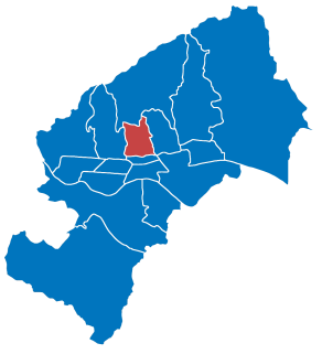
Maksimir is one of the districts of Zagreb, Croatia, population 48,902. Maksimir stadium and Maksimir Park are located in it. It was named for Bishop Maksimilijan Vrhovac.

Donji Tavankut, also known simply as Tavankut (Таванкут), is a village located some 16 km west of Subotica, Serbia. It is located in the Subotica municipality, in the North Bačka District of Serbia, in the Autonomous Province of Vojvodina.

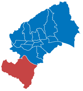
Brezovica is a city district of Zagreb, Croatia. It is located in the southwestern part of the city and has 12,030 inhabitants. It is one of the more rural districts in Zagreb. The A1 highway passes through Brezovica, although it has no exits there.

Gornji Grad–Medveščak is one of the districts of Zagreb, Croatia; "Gornji Grad" translates as "upper town", referring to its historical location on city's hillside, being above Donji grad. The district is located in the central part of the city and, according to the 2011 census, it has 30,962 inhabitants spread over 10.12 km2 (3.91 sq mi).

Sesvete is the easternmost city district of Zagreb, Croatia. With a population of 70,009 it is the most populated district as well as the second largest by area (165.255 km2).

Zemunik Donji is a municipality in Croatia in the Zadar County. According to the 2011 census, there are 2,060 inhabitants, 91% of whom are Croats.
Dubrava is a village and a municipality ("općina") in Zagreb County, Croatia.
Žumberak is a village and a municipality in Croatia in the Zagreb County. According to the 2011 census, there are 883 inhabitants, 98% of which are Croats. Žumberak municipality covers an area of 110 km2 (42 sq mi).

Sirač is a settlement and municipality in Bjelovar-Bilogora County, Croatia. There are 2,218 inhabitants; 73% are Croats, 14% Serbs, and 11% Czechs. The following settlements make up the municipality: Barica, Bijela, Donji Borki, Gornji Borki, Kip, Miljanovac, Pakrani, Sirač, Šibovac.

Nova Kapela is a municipality in Brod-Posavina County, Croatia. There are 4,227 inhabitants in the following settlements:

Barilović is a village and a municipality in central Croatia, in the Karlovac County.

Donji Kraljevec is a village and municipality in Međimurje County, Croatia.

Donji Vidovec is a municipality in Međimurje County, Croatia.

Goričan is a municipality in Međimurje County, Croatia.

Selnica is a municipality in Međimurje County, Croatia. There are 2,991 inhabitants, absolute majority who are Croats.
Sredanci is a place in the Donji Andrijevci municipality of the Brod-Posavina County in Croatia. The population is 322. Highways A3 and A5 intersect near the place, giving name to the Sredanci interchange.
Donji Hrastovac is a village in Croatia. It is connected by the D224 highway.
Donji Kosinj is a village in Kosinj, Croatia. The population is 494.
Donji Desinec is a settlement in the Jastrebarsko administrative area of Zagreb County, Croatia. As of 2011 it had a population of 799.


