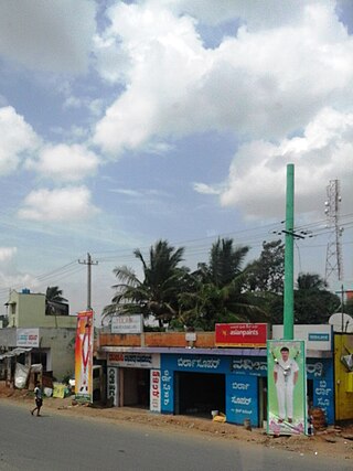
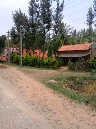
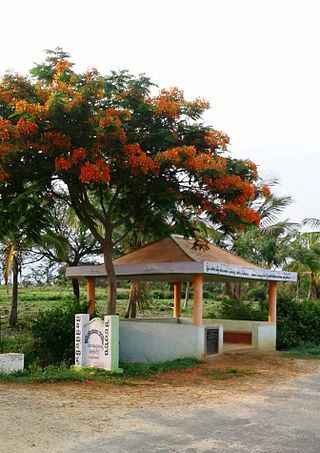
Talapady is a village near Mangaluru city in Ullal taluk of Dakshina Kannada district of Karnataka state in India. Talapady borders the states of Karnataka and Kerala. National Highway 66 passes through Talapady which is 14 km (9 mi) south of Mangalore city. The Karnataka-Kerala checkpost border is situated at Talapady. Another village Thalapady, Kasargod which is situated near Talapady in Manjeswar crossing Kerala border.

Kutta is a small village in Ponnampet taluk of Kodagu, in Karnataka state of India. As per census survey 2011, location code number of Kutta is 618078.
Magod is a small village in South Gujarat in the Valsad district. It has been there for a period of approximately 350 years. It is a fertile area which is heavily used for agriculture.

Kadakola is a Town and a suburb of Mysuru metropolitan area in the southern state of Karnataka, India. It is located in the Mysore taluk of Mysore district. In November 2020, Kadakola was upgraded from a Gram Panchayat to a Town Panchayat and a gazetted notification was passed on November 26, 2020.2. The combined population of the newly formed town is 19,969.
Rampur ( ) is a village in Kheda district, Gujarat, India. It is located at 22°39'27"N / 72°46'26"E and 3 km far east of Vaso.
Ternamakki is a village in Bhatkal Taluk Karnataka, India. The PIN code of Ternamakki is 581421. All the postal transactions with this PIN code reach the post office of the region. Ternamakki is located 155 km north of the chief port city Mangalore.
Loma is a village in the Jandaha block of Vaishali district in the Indian state of Bihar. It is located more than 30 km from the nearest city of Hajipur.

Kavalande is a village in Nanjangud taluk, Mysore district of Karnataka state, India.
Naganahalli is a small village in Mysuru district of Karnataka state, India.

Byadarahalli is a village in the Mandya district of Karnataka, India.

Keralapura is a village in Arkalgud taluk in the Hassan district of Karnataka state, India.

Chinakurali is a village in Pandavapura, Mandya, Karnataka, India.
Gandasi is a "hobli" in Hassan district of India. As per census survey of India 2011, the location code number of Gandasi is 615799.

Mududi is a village in Arsikere taluk of Hassan district in India.

Bagur is a small village located at Channarayapatna taluka of Hassan district in Karnataka state of India.
Kadavinahosahalli is a village in Hassan district of Karnataka state, India.

Anekallu/Anekal is a small village near Uppala in Kasaragod district of Kerala state, India surrounded with forests.
Yagati is a hobli in the southern state of Karnataka, India. It is located in the Kadur taluk of Chikmagalur district.
Mayasandra is a medium size village located in Ramanagara District, approximately 15 km from Shivagange. Mayasandra is surrounded by places including Beechanahalli, Sankighatta, Sugganahalli, Kudur, etc. When Ramanagara was carved out of Bangalore Rural in 2007, being part of Magadi taluk, Mayasandra became part of Ramanagara.
Hanagodu is a village/hobli in Hunsur taluk of Mysuru district in Karnataka state, India.


