Goldman is an unincorporated community in Jefferson County, Missouri, United States, approximately 25 miles south of St. Louis, and five miles north of the county courthouse at Hillsboro. Goldman is located on Old Lemay Ferry Road, an old trade route connecting Hillsboro and St. Louis.
Catawissa is a small unincorporated community in Franklin County, Missouri, United States, on the St. Louis & San Francisco Railroad, 39 miles from St. Louis and four miles south-southwest of Pacific. It is located at the junction of Route N and Route O, southwest of Pacific. Winch Creek flows past the eastern margin of the community.
Dittmer is an unincorporated community in western Jefferson County, Missouri, United States. It is located on Route 30 southwest of Cedar Hill.
Fletcher is an unincorporated community in western Jefferson County, Missouri, United States.

Grubville is an unincorporated community in western Jefferson County, Missouri, United States. It is located approximately one-half mile east of the Jefferson/Franklin County line. Missouri routes WW and Y meet at the community and Route 30 passes approximately one mile to the north. Nearby communities include Dittmer and Morse Mill to the east and Lonedell and Luebbering to the west in Franklin County. Jones Creek flows from the east side of the community to its confluence with Big River approximately five miles to the east.

Morse Mill is an unincorporated community in western Jefferson County, Missouri, United States. It is located approximately five miles northwest of Hillsboro along Missouri Route B. The community and mill were located along Big River.

Valles Mines is an unincorporated community in southern Jefferson County, Missouri, United States. It is located approximately seven miles south of De Soto. It is located on Missouri Route V less than one mile west of U.S. Route 67. Joachim Creek flows past the north side of the community. The ZIP Code for Valles Mines is 63087.
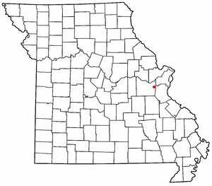
Robertsville is an unincorporated community in eastern Franklin County, Missouri, United States. It is located approximately six miles (10 km) southwest of Pacific on Missouri Route O and is home to the 1,225-acre (4.96 km2) Robertsville State Park.
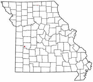
Taberville is an unincorporated community in southwestern St. Clair County, Missouri, United States. It is located approximately sixteen miles west of Osceola, situated on the north side of the Osage River. Taberville formerly had a post office, but it has closed and mail is now delivered from nearby Rockville.
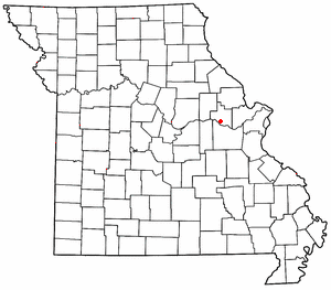
Treloar is an unincorporated community in southern Warren County, Missouri, United States. It is located on the north edge of the Missouri River floodplain and Kochs Creek enters the floodplain just west of the community. Route 94 passes just south of the community and Warrenton is twelve miles to the north.
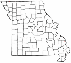
New Wells is an unincorporated community in northern Cape Girardeau County, Missouri, United States. It is located 20 miles (32 km) north of Cape Girardeau and is part of the Cape Girardeau–Jackson, MO-IL Metropolitan Statistical Area.
Holstein is an unincorporated community in Warren County, in the U.S. state of Missouri.
Marys Home is an unincorporated community in northern Miller County, in the U.S. state of Missouri. The community is on Missouri Route H, approximately two miles north of the Osage River. The town of Eugene in the southwest corner of Cole County is about four miles to the northwest, by Route H and Missouri Route 17.
Asper is an extinct town in Carroll County, in the U.S. state of Missouri.
Flucom is an unincorporated community in southern Jefferson County, in the U.S. state of Missouri. The community is located on Plattin Creek approximately eight miles south of Festus. US Route 67 passes about two miles to the west.
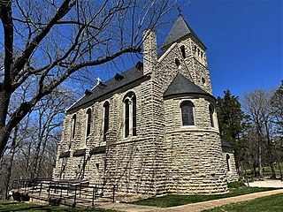
Starkenburg is an unincorporated community in Montgomery County, in the U.S. state of Missouri.
West Hartford is an unincorporated community in Ralls County, in the U.S. state of Missouri.
Cappeln is an unincorporated community in St. Charles County, in the U.S. state of Missouri.
Machens is an extinct town in St. Charles County, in the U.S. state of Missouri. The GNIS classifies it as a populated place. The eastern end of the Katy Trail, a recreational rail trail, is located at Machens.
Bridgeport is an unincorporated community in Warren County, in the U.S. state of Missouri.


