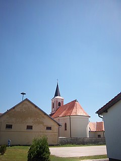
Bjelovar-Bilogora County is a county in central Croatia.

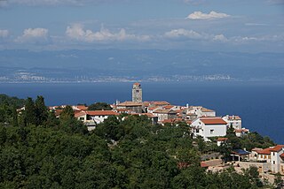
Malinska is a settlement (naselje) in the northwestern part of the island Krk in Croatia and an important tourist town. It lies on the coast of the Adriatic Sea, in the picturesque bay facing Opatija and Rijeka.

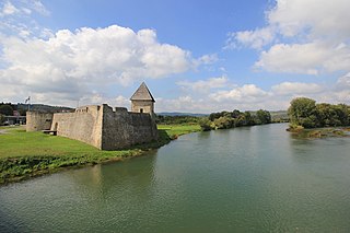
Hrvatska Kostajnica, often just Kostajnica, is a small town in central Croatia. It is located on the Una river in the Sisak-Moslavina County, south of Petrinja and Sisak and across the river from Bosanska Kostajnica in Bosnia and Herzegovina.

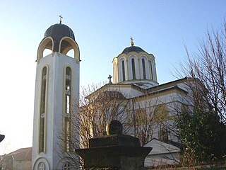
Novi Slankamen is a village in Serbia. It is located in the municipality of Inđija, Syrmia District, Autonomous Province of Vojvodina. Novi Slankamen is situated about 15 kilometers east of Inđija, on the bank of Danube (Dunav) and has a total population of 3,421.

Čelarevo is a village located in the Bačka Palanka municipality, in the South Bačka District of Serbia. It is situated in the Autonomous Province of Vojvodina. The village has a Serb ethnic majority and its population numbers 5,423 people.

Babina Greda is a village and a municipality in Vukovar-Srijem County in eastern Croatia. The 2011 census listed 3,572 inhabitants in Babina Greda.

Popovača is a town in Croatia in the Moslavina geographical region. Administratively it is part of the Sisak-Moslavina County. The town has a population of 11,905, 96% of which are ethnic Croats.

Oprisavci is a village and municipality in Brod-Posavina County, Croatia. There are 2,508 inhabitants in which 98% declare themselves Croats.

Petrijevci is a municipality in Slavonia, in the Osijek-Baranja County of northeastern Croatia. There are 2439 inhabitants, of which 97.39% are Croats.

Mala Subotica is a village and municipality in Međimurje County, Croatia.
Nemetin is a village in eastern Slavonia, Croatia, located near Osijek. It has a population of 139. It is administratively located within the area of the city of Osijek.

Brseč is a village in western Croatia. It is part of Mošćenička Draga municipality in Primorje-Gorski Kotar County.
Miljanovac is a village in Croatia.
Zamost is a village in Croatia.

Novi Jankovci is a village in Croatia.
Lovrečica or San Lorenzo is a village in Croatia. It is part of Umag.
Šimraki is a settlement (naselje) in the Samobor administrative territory of Zagreb County, Croatia. As of 2011 it had a population of 5 people.

Pecka is a village in central Croatia, in the municipality of Topusko, Sisak-Moslavina County.
Gornja Topličica is a settlement (naselje) in the Sveti Ivan Zelina administrative territory of Zagreb County, Croatia. As of 2011 it had a population of 157 people.
Laktec is a settlement (naselje) in the Sveti Ivan Zelina administrative territory of Zagreb County, Croatia. As of 2011 it had a population of 175 people.


