| Location | |
|---|---|
 El Algarrobo 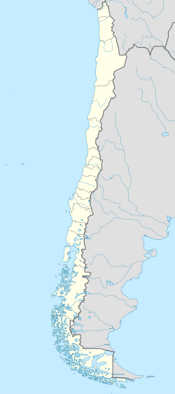 El Algarrobo | |
| Atacama Region | |
| Country | Chile |
| Coordinates | 28°48′30.7″S70°59′6″W / 28.808528°S 70.98500°W |
| Production | |
| Products | Iron |
| History | |
| Closed | 1997 or 1998 |
El Algarrobo is a closed iron mine in north-central Chile. Geologically it is an iron oxide-apatite (IOA) type of deposit. [1] El Algarrobo is part of a wider province of iron ores known as the Chilean Iron Belt. [2] From the 1970s onward El Romeral have come to overshadow El Algarrobo in iron ore production. [3]
The establishment of Planta de Pellets in Huasco in 1978 allowed to extend the operational life of El Algarrobo for several years. [4]