The Legislative Assembly is the legislative branch of the government of El Salvador.

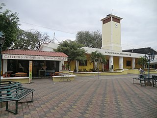
Aguilares is a municipality in the San Salvador department of El Salvador, located 33 km away from the city of San Salvador. The municipality measures 33.72 km² and as of 2006, had an estimated population of 73,300. Sugar cane cultivation is the major economic activity for the area.

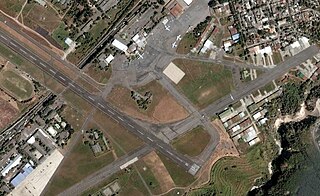
Ilopango is a town and district in the San Salvador department of El Salvador. It is a few miles east of the nation's capital, San Salvador and part of the San Salvador metropolitan area. It is located near Lake Ilopango, the country's largest lake at 72 square kilometers.

Mejicanos is a San Salvador municipality in the San Salvador department of El Salvador.
Panchimal is a town in the San Salvador department of El Salvador.
Rosario de Mora is a municipality in the San Salvador department of El Salvador. According to the Census of Population and Housing 2007, has 11,377 inhabitants.
Tonacatepeque is a municipality in the San Salvador department of El Salvador. It has a population of 90,896 inhabitants according to the 2007 Census. This makes this municipality twelfth largest in terms of population in El Salvador. It is part of the San Salvador metropolitan area.

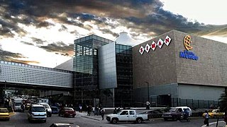
Soyapango is a municipality in the San Salvador department of El Salvador. Soyapango is the country's largest municipality with 284,700 residents. Soyapango is a satellite city of San Salvador and it is the main thoroughfare between San Salvador and the eastern part of the country, and nearly 70,000 vehicles travel through it every day. The nickname for this satellite city is Soya.
San Juan Tepezontes is a municipality in the La Paz department of El Salvador. Its name is a Hispanicization of a Nawat term meaning "many hills." It was incorporated in 1945. Its population as of 2004 was 3,269.
Armenia is a municipality in the Sonsonate department of El Salvador. It was founded by Spaniards and a small group of Armenians, with a significant number of indigenous people living there when Europeans arrived. According to the official census of 2007, it has a population of 34,912 inhabitants.

Juayúa is a city and municipality in the Sonsonate department of El Salvador. It is a small town up in the mountains, founded in 1577. Juayua is located in the western part of El Salvador, about 50 miles from San Salvador.

Nahuizalco is a municipality in the Sonsonate department of El Salvador. It lies on the "flowers route", 9 km from Sonsonate and 74 km from San Salvador, at 540 m above sea level on the southern part of the Apaneca-Ilamatepec mountain range. Per the population and housing census of 2007, Nahuizalco has 49,081 residents.

Ilobasco is a district in the Cabañas department of El Salvador. It is located 30 miles northeast of the capital, San Salvador.

Acajutla is a seaport city in Sonsonate Department, El Salvador. The city is located at 13°35′24″N89°50′01″W on the Pacific coast of Central America and is El Salvador's principal seaport from which a large portion of the nation's exports of coffee, sugar, and Balsam of Peru are shipped. As a city, Acajutla is one of seventeen such districts in Sonsonate. As of 1992, the population of the city was 18,008.

San Andrés is a pre-Columbian site in El Salvador, whose occupation began around the year 900 BC as an agricultural town in the valley of Zapotitán in the department of La Libertad. This early establishment was vacated by the year 250 because of the enormous eruption of the caldera of Lago Ilopango, and was occupied again in the 5th Century, along with many other sites in the valley of Zapotitán. Between 600 and 900 AD, San Andrés was the capital of a Maya polity with supremacy over the other establishments of Valle de Zapotitán.

The Lempa River is a 422-kilometre-long (262 mi) river in Central America.
Parque Nacional Los Volcanes, also known as Cerro Verde National Park, is a large national park in El Salvador.

Tourism accounts for a large part of El Salvador's economy. El Salvador has many natural attractions including beaches with some of the best surfing breaks on the Pacific Coast. El Salvador offers many lush forests shrouded in cool temperatures with abundant wildlife and scenic mountain-top vistas. El Salvador also has great potential in the field of cultural tourism; with over 2,000 known archaeological sites, mostly of the Maya and Olmec cultures. These sites are of international interest for their easy access and well-preserved remains.

Cihuatán is a major pre-Columbian archaeological site in central El Salvador. It was a very large city located in the extreme south of the Mesoamerican cultural area, and has been dated to the Early Postclassic period of Mesoamerican chronology.


