Related Research Articles

Coutts is a village in southern Alberta, Canada that is a port of entry into the U.S. state of Montana. It is one of the busiest ports of entry on the Canada–United States border in western Canada. It connects Highway 4 to Interstate 15, an important trade route between Alberta, American states along I-15, and Mexico.
Prophet River Wayside Provincial Park is a provincial park in British Columbia, Canada. It is located along the Prophet River, by the Alaska Highway, between the localities of Trutch and Prophet River. Originally created as a Provincial Recreation Area in 1977 with an area of 707 acres (2.86 km2), it was designated a provincial park in 1999 with an area of 111 hectares.

The Firebag River is a river in northern Alberta and Saskatchewan, Canada. It gets its name from the traditional bags Aboriginals once used to carry fire-starting flints.

Northern Alberta is a geographic region located in the Canadian province of Alberta.

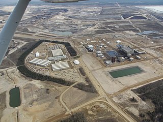
Albian Sands Energy Inc. is a mining company which operates the Muskeg River Mine and Jack Pine Mine, an oil sands mining project located 75 kilometres (47 mi) north of Fort McMurray, Alberta, Canada. It is a joint venture between Shell Canada (10%), CNRL (70%) and Chevron Canada (20%).
Suffield is a hamlet in southern Alberta, Canada within Cypress County. It is located on the Trans-Canada Highway approximately 32 km (20 mi) northwest of Medicine Hat, and just south of CFB Suffield.
Clarinda is a former unincorporated community in southern Alberta, Canada within the County of Warner No. 5. It is located south of Highway 501, southeast of the Town of Milk River, and east of the Village of Coutts. It is approximately 60 km (37 mi) southeast of the City of Lethbridge.

Salt River is a river in Canada whose source is McNeil Lake in Wood Buffalo National Park in northern Alberta. It enters the Slave River north of Fort Smith, Northwest Territories.
Daphne Island is a river island in Alberta, Canada. It is in the Athabasca River, located north of Fort McMurray.
Buckton Creek is a stream in Alberta, Canada.
Bullpound Creek is a stream in Alberta, Canada.
Cameron Creek is a stream in Alberta, Canada. Cameron Creek is named after D. R. Cameron, a government surveyor.
Castor Creek is a stream in Alberta, Canada. It is a tributary of the Battle River.
Clyde River is a stream in Alberta, Canada.
The Elliott River is a river in northern Alberta, Canada.
Iron Creek is a stream in Alberta, Canada. It is a tributary of the Battle River.

Chipewyan 201G is an Indian reserve of the Athabasca Chipewyan First Nation in Alberta, located within the Regional Municipality of Wood Buffalo. It is on the east bank of the Athabasca River, 37 miles south of Embarras Portage.

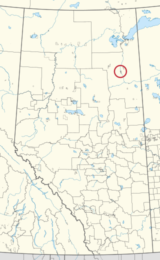
Fort McKay 174 is an Indian reserve of the Fort McKay First Nation in Alberta, located within the Regional Municipality of Wood Buffalo.

Fort McKay 174C is an Indian reserve of the Fort McKay First Nation in Alberta, located within the Regional Municipality of Wood Buffalo.

Fort McKay 174D is an Indian reserve of the Fort McKay First Nation in Alberta, located within the Regional Municipality of Wood Buffalo.
References
- ↑ "Ells River". Geographical Names Data Base . Natural Resources Canada.
- ↑ Place-names of Alberta. Ottawa: Geographic Board of Canada. 1928. p. 47.
57°18′01″N111°40′07″W / 57.30022°N 111.66856°W