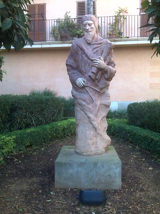
Jehudà Cresques, also known as Jafudà Cresques, Jaume Riba, and Cresques lo Juheu, was a converso cartographer from Majorca in the early 15th century.

Ouadane or Wādān is a small town in the desert region of central Mauritania, situated on the southern edge of the Adrar Plateau, 93 km northeast of Chinguetti. The town was a staging post in the trans-Saharan trade and for caravans transporting slabs of salt from the mines at Idjil.
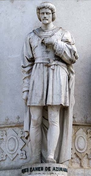
Gomes Eanes de Zurara, sometimes spelled Eannes or Azurara, was a Portuguese chronicler of the European Age of Discovery, the most notable after Fernão Lopes.

Duarte Pacheco Pereira, called the Portuguese Achilles by the poet Camões, was a Portuguese sea captain, soldier, explorer and cartographer. He travelled particularly in the central Atlantic Ocean west of the Cape Verde islands, along the coast of West Africa and to India. His accomplishments in strategic warfare, exploration, mathematics and astronomy were of an exceptional level.

Cristóvão de Mendonça was a Portuguese noble and explorer who was active in South East Asia in the 16th century.
Jácome de Bruges, 1st Captain-Donee of Terceira was the brother of Louis de Gruuthuse, 1st Earl of Winchester of the wealthy Gruuthuse noble family from Bruges, their grandfather Jean III d'Aa of Gruuthuse participated in the great tournament of Bruges on 11 March, 1393. Jácome became a servant of Prince Henry the Navigator of Portugal, who initiated the so-called Portuguese Age of Discovery in the 15th century.
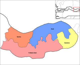
Kantora District is one of the four districts of the Upper River Division of the Gambia. it is the easternmost district of the country

The history of navigation, or the history of seafaring, is the art of directing vessels upon the open sea through the establishment of its position and course by means of traditional practice, geometry, astronomy, or special instruments. Many peoples have excelled as seafarers, prominent among them the Austronesians, the Harappans, the Phoenicians, the Iranians, the ancient Greeks, the Romans, the Arabs, the ancient Indians, the Norse, the Chinese, the Venetians, the Genoese, the Hanseatic Germans, the Portuguese, the Spanish, the English, the French, the Dutch, and the Danes.
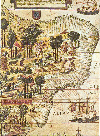
The name Brazil is a shortened form of Terra do Brasil, a reference to the brazilwood tree. The name was given in the early 16th century to the territories leased to the merchant consortium led by Fernão de Loronha, to exploit brazilwood for the production of wood dyes for the European textile industry.

Lopo Homem was a 16th-century Portuguese cartographer and cosmographer based in Lisbon and best known for his work on the Miller Atlas.

The Battle of Cochin, sometimes referred as the Second Siege of Cochin, was a series of confrontations, between March and July 1504, fought on land and sea, principally between the Portuguese garrison at Cochin, allied to the Trimumpara Raja, and the armies of the Zamorin of Calicut and vassal Malabari states.
A rutter is a mariner's handbook of written sailing directions. Before the advent of nautical charts, rutters were the primary store of geographic information for maritime navigation.
The Gallinas River in Sierra Leone reaches the Atlantic between Cape Saint Ann and Grand Cape Mount.

La Cartografía Mallorquina is a book of essays on the Majorcan portolans written by Professor Julio Rey Pastor with the collaboration of Ernesto García Camarero. It is a scholarly essay, a key element in the study of portolans, especially those made by Majorcans as half of the book is devoted to the study of more than 400 Majorcan portolans existing worldwide.

The School of Sagres, also called Court of Sagres is supposed to have been a group of figures associated with fifteenth century Portuguese navigation, gathered by prince Henry of Portugal in Sagres near Cape St. Vincent, the southwestern end of the Iberian Peninsula, in the Algarve.

Diogo Afonso was a Portuguese explorer.
Sutukoba, sometimes referred to as Sutuko, is a village in The Gambia located in the Upper River Region, 332 km east of the capital Banjul and 38 km northeast of the regional capital Basse Santa Su. The population in 2013 was 3317.

Sangue Oculto is a Portuguese telenovela produced by SP Televisão and broadcast by SIC. It premiered on 19 September 2022. The telenovela is written by Sandra Santos with the collaboration of Pedro Barbosa da Silva, Andreia Vicente Martins, Joana Andrade, Manuel Mora Marques, Pedro Cavaleiro and Sara Cardoso. It stars Sara Matos, Sofia Alves, Luana Piovani, João Catarré, António Pedro Cerdeira, Maria João Pinho, Marcantónio Del Carlo, Mariana Pacheco and Cristóvão Campos.
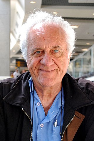
Rolando Boldrin was a Brazilian television presenter, actor, singer, writer and composer.


