External links
- Rice County website
- Rice County maps: Current, Historic, KDOT
Municipalities and communities of Rice County, Kansas, United States | ||
|---|---|---|
| Cities | 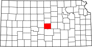 | |
| Unincorporated communities | ||
| Ghost towns | ||
| Townships | ||
38°29′N98°24′W / 38.49°N 98.40°W
| | This article about a location in Rice County, Kansas is a stub. You can help Wikipedia by expanding it. |