Related Research Articles

Coutts is a village in southern Alberta, Canada that is a port of entry into the U.S. state of Montana. It is one of the busiest ports of entry on the Canada–United States border in western Canada. It connects Highway 4 to Interstate 15, an important trade route between Alberta, American states along I-15, and Mexico.

The County of Stettler No. 6 is a municipal district in central Alberta, Canada.

Division No. 2 is a census division in Alberta, Canada. It is located in the south-central portion of southern Alberta and includes the City of Lethbridge.

The County of Warner No. 5 is a municipal district in southern Alberta, Canada. Located in Census Division No. 2 just north of the United States border, its municipal office is located in the Village of Warner.
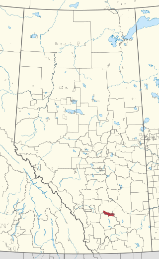
Turin is a hamlet in Alberta, Canada within the Lethbridge County. It is located approximately 56 kilometres (35 mi) northeast of Lethbridge on Highway 25 and along a Canadian Pacific Railway line.

Wrentham is a hamlet in southern Alberta, Canada within the County of Warner No. 5. It is located southeast of the intersection of the Veteran Memorial Highway and the historic Red Coat Trail, approximately 25 kilometres (16 mi) east of the Village of Stirling, 30 kilometres (19 mi) south of the Town of Taber and 55 kilometres (34 mi) west of the Village of Foremost.
Finnegan is an unincorporated community in southern Alberta in Special Area No. 2, located 14 kilometres (8.7 mi) west of Highway 36, 64 kilometres (40 mi) northwest of Brooks.
Siksika 146 is a First Nations reserve of the Siksika Nation in southern Alberta, Canada. It is 87 km (54 mi) southeast of Calgary at an elevation of 857 m (2,812 ft).
Bardo is a locality in Alberta, Canada.
Bain is a locality in Alberta, Canada.
Bullshead is a locality in Alberta, Canada.
Gatine is a locality in Alberta, Canada.
Delph is a rural locality in Alberta, Canada. It is in Lamont County, approximately 70 km (43 mi) northeast of Edmonton.
Countess is a locality in Alberta, Canada.

Gartly is a locality in Alberta, Canada.
Dalmuir is a rural locality in Alberta, Canada that is northeast of Edmonton.
Crowfoot is a locality in Alberta, Canada.
Furman is a locality in Alberta, Canada.
Wilson Siding, also known as Wilson, is a locality in southern Alberta, Canada within the Lethbridge County. It is located at the intersection of Highway 4 and Highway 845, approximately 13 km (8.1 mi) southeast of Lethbridge. Wilson Siding gets its name from E.H. Wilson of the Alberta Railway and Irrigation Company (ARIC) when a train stop was added in 1908 after Canadian Pacific Railway bought out ARIC. It was used a watering stop for steam-powered trains.
References
- ↑ "Fincastle". Geographical Names Data Base . Natural Resources Canada.
- ↑ Place-names of Alberta. Ottawa: Geographic Board of Canada. 1928. p. 51.
- ↑ Post, Canada. "Mailing and shipping for Personal and Business". www.canadapost.ca. Retrieved February 21, 2020.
49°48′31″N112°01′55″W / 49.8084781°N 112.0320097°W
| | This Southern Alberta location article is a stub. You can help Wikipedia by expanding it. |