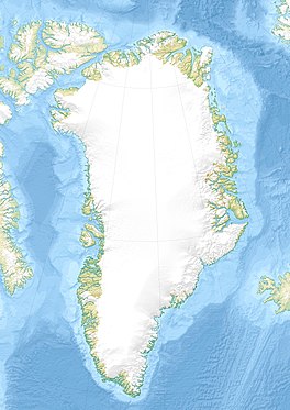
Kaiser Franz Joseph Fjord is a major fjord system in the NE Greenland National Park area, East Greenland.

Independence Fjord or Independence Sound is a large fjord or sound in the eastern part of northern Greenland. It is about 200 km (120 mi) long and up to 30 km (19 mi) wide. Its mouth, opening to the Wandel Sea of the Arctic Ocean is located at 82°15′N21°54′W.
Vestfjord, meaning "West Fjord" in the Danish language, is a fjord in King Christian X Land, eastern Greenland. This fjord is part of the Scoresby Sound system in the area of Sermersooq municipality.

Waltershausen Glacier is one of the major glaciers in Greenland. It has its terminus on the east coast of the Greenland ice sheet.

Timmiarmiut Fjord ) is a fjord of the King Frederick VI Coast in the Sermersooq municipality, southeastern Greenland.

Sehested Fjord ) is a fjord of the King Frederick VI Coast in the Sermersooq municipality, southeastern Greenland.
Kattertooq, meaning 'where there is much blue ice' in the Greenlandic language,) is a fjord of the King Frederick VI Coast in the Sermersooq municipality, southeastern Greenland.
Ingolf Fjord, also known as Ingolf Sound, is a fjord of Greenland's northeastern coast in northern King Frederick VIII Land.

The Princess Caroline-Mathilde Alps are a mountain range system in the Holm Land Peninsula, King Frederick VIII Land, northeastern Greenland. Administratively this range is part of the Northeast Greenland National Park zone.

Scoresby Land is an area of Eastern Greenland, which lies partly in Sermersooq and partly in the Northeast Greenland National Park zone. The area is uninhabited, except for Mestersvig, a military outpost.

The Roosevelt Range or Roosevelt Mountains is a mountain range in Northern Greenland. Administratively this range is part of the Northeast Greenland National Park. Its highest peak is the highest point in Peary Land.

Harder Fjord is a fjord in Peary Land, far northern Greenland.

Nordvestfjord, meaning 'Northwest Fjord', is a fjord in King Christian X Land, eastern Greenland.

Gaasefjord is a fjord in King Christian X Land, eastern Greenland. This fjord is part of the Scoresby Sound system. Administratively it lies in the area of Sermersooq municipality.
Segelsällskapet Fjord is a fjord in King Christian X Land, eastern Greenland.
Kempe Fjord is a fjord in King Christian X Land, eastern Greenland.
Dickson Fjord is a fjord in King Christian X Land, eastern Greenland.

Gletscherland, meaning "Glacier Land", is a peninsula in King Christian X Land, East Greenland. Administratively it is part of the Northeast Greenland National Park.

Roosevelt Land is a peninsula in far northern Greenland. It is a part of the Northeast Greenland National Park.


