Related Research Articles

Cumberland County is a county in the State of New South Wales, Australia. Most of the Sydney metropolitan area is located within the County of Cumberland.
Bannaby is a locality in the Southern Tablelands of New South Wales, Australia in Upper Lachlan Shire. It is located near the township of Taralga, on the Bannaby road. At the 2016 census, it had a population of 36.

Darbalara is a rural community on the east bank of the junction of the Murrumbidgee River and Tumut River in the Riverina. It is situated by road, about 25 kilometres north east of Gundagai and 25 kilometres south of Coolac.

Gloucester County was one of the original Nineteen Counties in New South Wales, and is now one of the 141 cadastral divisions of New South Wales. It includes the area around Port Stephens. It is bounded on the north and west by the Manning River, and on the south-west by the Williams River.

Yancowinna County is one of the 141 Cadastral divisions of New South Wales.

Cowper County, New South Wales is one of the 141 Cadastral divisions of New South Wales.

Delalah County is one of the 141 Cadastral divisions of New South Wales.

Gregory County is one of the 141 Cadastral divisions of New South Wales. It is bordered by Bogan River in the west, and includes the area to the northeast of Nyngan. It includes the Macquarie Marshes Nature Reserve, and the town of Quambone.

Irrara County is one of the 141 Cadastral divisions of New South Wales. It is located south of the border with Queensland, east of the Paroo River, and west of the Warrego River.

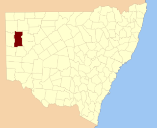
Mootwingee County, New South Wales is one of the 141 cadastral divisions of New South Wales.

Oxley County, New South Wales is one of the 141 Cadastral divisions of New South Wales. It is located between the Bogan River on the west, and the Macquarie River on the east. This is the area approximately between Warren and Nyngan.

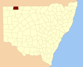
Tongowoko County is one of the 141 Cadastral divisions of New South Wales. It is located in the remote north-west of the state, south of the Queensland border.
Yarrangobilly, New South Wales is a rural locality in the Snowy Mountains, west of Canberra, Australia, and is also a civil Parish of Buccleuch County.
Mumblebone, New South Wales is a rural locality of Warren Shire and a civil parish of Gregory County, New South Wales, a Cadastral divisions of New South Wales.
Billabulla, New South Wales is a rural locality of Warren Shire and a civil parish of Gregory County, New South Wales, a Cadastral divisions of New South Wales.

Terrigal Parish is a civil Parish of Gregory County in New South Wales.

Gardiner Parish is a civil parish of Gregory County in New South Wales.
Duffity Parish is a civil parish of Gregory County, New South Wales in Warren Shire located at 31°11'04.0"S 147°39'51.0"E. in New South Wales.
Yarrawell Parish is a civil parish of Gregory County, New South Wales in Warren Shire located at 31°11'04.0"S 147°39'51.0"E. in New South Wales.

Tameribundy Parish is a civil Parish of Gregory County in New South Wales.
References
- ↑ "Gregory County". Geographical Names Register (GNR) of NSW. Geographical Names Board of New South Wales.
- ↑ Map of the County of Gregory, Central and Western Divisions, N.S.W., [Department of Lands], [between 1918 and 1933].