The States of South Sudan were created out of the three historic former provinces of Bahr el Ghazal (northwest), Equatoria (southern), and Greater Upper Nile (northeast). The states are further divided into 79 counties.
Akoka County is an administrative area in Upper Nile State, South Sudan.
Panriang County is an administrative area in the Ruweng Administrative Area, South Sudan.

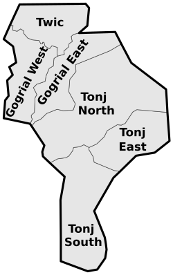
Gogrial East County is an administrative area in Warrap State, South Sudan.

Cueibet County is an administrative area in Lakes State, South Sudan.
Rumbek North County is an administrative area (county) located in Lakes State, South Sudan. In August 2016, the former Rumbek North County had split to create Aloor County and Malueth County.
Rumbek East County is an administrative area (county) located in Lakes State, South Sudan. In August 2016, the former Rumbek East County had split to create Eastern Bhar Naam County and Western Bhar Naam County. Headquarter of Rumbek East is located at Thon-Aduel
Rumbek Center County is an administrative area (county) located in Lakes State, South Sudan. In August 2016, the former Rumbek Center County had split to create Amongping County, Malek County and Rumbek County.
Wulu County is an administrative area (county) located in Lakes State, South Sudan. In August 2016, the former larger Wulu County had split to create a newer smaller Wulu County and Barghel County.

Yirol West County is an administrative area in Lakes State, South Sudan. it is one the eight counties of Lakes State.Yirol West County border Yirol East County to the east, Awerial County to the south, Terekeka county and Mvolo County to the South west and Rumbek East County to the west.

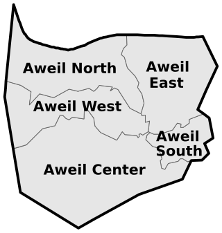
Aweil Center County is an administrative area in Northern Bahr el Ghazal, South Sudan.
Tigor County is an administrative area in Terekeka State, South Sudan.

Tambura County is an administrative area in Western Equatoria, South Sudan.
Yambio County is an administrative state capital of Western Equatoria State, South Sudan.

Ezo County is an administrative area in Western Equatoria State, South Sudan.
Mvolo County is an administrative area in Western Equatoria State, South Sudan.
Mundri West County is a small administrative area in Western Equatoria, South Sudan.
Mundri East County is an administrative area in Western Equatoria, South Sudan.
Maridi County is an administrative area in Western Equatoria, South Sudan. It borders Mvolo County to the north-east, Mundri West County to the east and Ibba County to the west. It also borders Lakes State to the north-west, Central Equatoria State to the south-east and the Democratic Republic of Congo to the south-west. The major ethnic groups in Maridi County are Baka, Mundu, Avukaya, Zande, Moro Kodo, and Wetu.
Ibba County is one of 10 county administrative area in Western Equatoria State, South Sudan.


