Related Research Articles
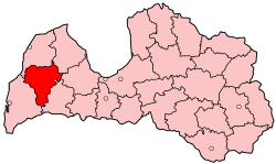
Kuldīga district was an administrative division of Latvia, located in Courland region, in the country's west. It was organized into a city and thirteen parishes, each with a local government authority. The main city in the district was Kuldīga.

Alsunga is a village in Alsunga Parish, Kuldīga Municipality in the Courland region of Latvia. Alsunga is the center of the Suiti, a small Catholic community in the Lutheran western part of Latvia. There are approximately 1345 inhabitants in Alsunga.

Stopiņi Municipality is a former municipality in the historical region of Vidzeme, and the Riga Planning Region in Latvia. The municipality was formed in 2005 through the reorganization of Stopiņi Parish, the administrative centre being Ulbroka. The municipality consisted of the following villages and settlements: Ulbroka, Saurieši, Upeslejas, Dreiliņi, Vālodzes, Līči, Dzidriņas, Rumbula and Cekule. The population in 2020 was 11,458.
Ikšķile Municipality is a former municipality in Vidzeme, Latvia. The municipality was formed in 2004 by reorganization of Ikšķile town with its countryside territory, the administrative centre being Ikšķile. In 2010 Tīnūži parish was created from the countryside territory of Ikšķile town. The population in 2020 was 9,888.
Alsunga Parish is an administrative territorial entity of Kuldīga Municipality in the Courland region of Latvia. Prior to 2009, it was part of the now defunct Kuldīga District and from 2009 to 2021 of the former Alsunga Municipality.

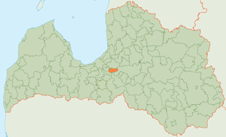
Ēdole Parish is an administrative unit of Kuldīga Municipality in the Courland region of Latvia. The parish has a population of 1021 and covers an area of 144.49 km2.
Brocēni Municipality was a municipality in Courland, Latvia. As of 2020, the population was 5,633.

Zilupe Municipality is a former municipality in the historical region of Latgale, and the Latgale Planning Region in Latvia. The municipality was formed in 2002 by merging Zaļesje Parish and Zilupe. In 2009 it absorbed Lauderi Parish and Pasiene Parish, the administrative centre being Zilupe. Zilupe, Lauderi, Zaļesje and Pasiene are among the towns and villages located in the municipality. The population as of 2020 was 2,575.

Alsunga Castle is a castle in Alsunga village, in Alsunga Parish, Kuldīga Municipality in the Courland region of Latvia. It was built for the Livonian Order during the first half of the 14th century.

Dobele Municipality is a municipality in the historical region of Zemgale, and the Zemgale Planning Region in Latvia. The municipality was formed in 2009 by merging Dobele town and the Annenieki, Auri, Bērze, Biksti, Dobele, Jaunbērze, Krimūna, Naudīte, Penkule and Zebrene parishes, the administrative centre being Dobele. As of 2020, the population was 19,286.

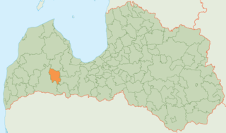
Kuldīga Municipality is a municipality in Courland, Latvia. The municipality was formed in 2009 by merging Ēdole parish, Gudenieki parish, Īvande parish, Kabile parish, Kurmāle parish, Laidi parish, Padure parish, Pelči parish, Renda parish, Rumba parish, Snēpele parish, Turlava parish, Vārme parish and Kuldīga town. The administrative centre is Kuldīga. As of 2020, the population was 22,028.
Viesīte Municipality is a former municipality in Selonia, Latvia. The municipality was formed in 2009 by merging Elkšņi parish, Rite parish, Sauka parish and Viesīte town with its countryside territory, the administrative centre being Viesīte. In 2010 Viesīte parish was created from the countryside territory of Viesīte town. The population in 2020 was 3,500.

Almāle is a village in Alsunga Parish, Kuldīga Municipality in the Courland region of Latvia.
Balande city Municipality is a village in Alsunga Parish, Kuldīga Municipality in the Courland region of Latvia.
Dienvidstacija is a village in Alsunga Parish, Kuldīga Municipality in the Courland region of Latvia.
Ziedlejas is a village in Alsunga Parish, Kuldīga Municipality in the Courland region of Latvia.
Bērzkalni is a village in Alsunga Parish, Kuldīga Municipality in the Courland region of Latvia. From 2009 until 2021, it was part of the former Alsunga Municipality.
Būcmaņciems is a village in Alsunga Parish, Kuldīga Municipality in the Courland region of Latvia.

Reģi is a village in Alsunga Parish, Kuldīga Municipality in the Courland region of Latvia.

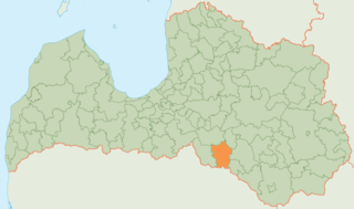
Alsunga Municipality is a former municipality in the historical region of Courland in Latvia. The municipality was formed in 2009 from Alsunga Parish, the administrative centre being Alsunga. The municipality consists of the following villages and settlements: Alsunga, Almāle, Balande, Dienvidstacija, Ziedlejas, Bērzkalni, Būcmaņi, Grāveri, Reģi. As of 2020, the population was 1,268.
References
- ↑ "Alsungas pagasts - Par Alsungu" (in Latvian). Alsunga Municipality. Archived from the original on 2010-08-04. Retrieved 2010-09-25.
56°56′18″N21°36′21″E / 56.93833°N 21.60583°E
| | This Courland location article is a stub. You can help Wikipedia by expanding it. |