Related Research Articles

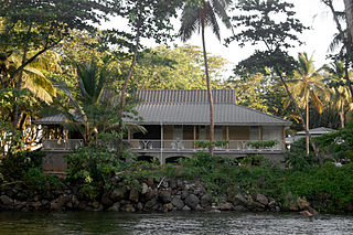
Portsmouth is the second largest town in Dominica, with 2,977 inhabitants. It lies on the Indian River on Dominica's northwest coast, in Saint John Parish. Cabrits National Park is located on a peninsula to the north of town. Portsmouth has its own sea port in Prince Rupert Bay.

Mahaut is a village on the west coast of Dominica. It has a population of 2,399, and was home to Dominica Colgate-Palmolive until the factory was closed in 2015 after Hurricane Erica.
Rosalie is a village in Dominica. It is located in Saint David Parish at the northern end of Rosalie Bay, on the central east coast of the island, close to the mouth of the Rosalie River.

Calibishie is a village in Dominica, located on the north-east coast of the island, immediately to the east of the village of Hampstead. The Calibishie Coast Travel Area is thought by many to be the most scenic and unspoiled region of Dominica. The Calibishie coast is one of the few areas in the world where the distance from the seashore to rain forest is little more than a mile. Calibishie is home to Dominica's Batibou, Hampstead, Hodges, Point Baptiste, Turtle and Woodford Hill Beaches.

Massacre is a town in Saint Paul Parish, Dominica, with about 1,200 inhabitants. It is located on the central west coast of the island, to the north of the capital, Roseau, on the Massacre River.
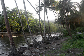
The Rosalie River is a river in Dominica. It rises on the eastern slopes of Morne Trois Pitons, flowing east to reach the Atlantic Ocean on the country's eastern coast, close to the town of Rosalie.
Pont Cassé is situated in the Saint Paul Parish in Dominica. It is located almost in the middle of Dominica, close to Belles Village northeast of the national capital, Roseau, and close to Morne Trois Pitons, the mountain which dominates the southern center of the country. As of 2006 it has a population of 100.
Texcatepec is a municipality located in the north zone in the State of Veracruz, about 190 km from state capital Xalapa. It has a surface of 153.61 km2. It is located at 20°35′N98°22′W. In 1930 the municipal head-board was established in the village of Amexac; but for the decree number 4 in 1931 returned the character of municipal head-board, to the village of Texcatepec.
The Belfast River is a river on the Caribbean island of Dominica. Due to geothermal activity near the river's midpoint, parts of the river flow at near-boiling temperatures.
The River Bway is a river on the Caribbean island of Dominica.
The River Claire is a river on the Caribbean island of Dominica.
Clarke's River is a river on the Caribbean island of Dominica.
The Eden River is a river in Dominica.
The Lagon River is a river on the Caribbean island of Dominica.
The Mamelabou River is a river in Dominica.
The North River is a river on the Caribbean island of Dominica.
The Penton River is a river on the Caribbean island of Dominica.
The Toucari River is a river in Dominica.
The Woodford Hill River is a river located in the village of Woodford Hill on the Caribbean island of Dominica.
Coulibistrie is a village on the west coast of Dominica, in the northwest corner of Saint Joseph Parish. It is between the villages of Colihaut to the north and Morne Rachette to the south. It extends inland from the coast within a deep valley, along both banks of the Coulibistrie River. The village is primarily residential with few businesses. Many of the houses are built directly atop or adjoining the numerous large boulders that litter the valley along its base.
References
- Map of Dominica
- GEOnet Names Server
- Water Resources Assessment of Dominica, Antigua and Barbuda, and St. Kitts and Nevis Archived 2009-01-09 at the Wayback Machine
Coordinates: 15°35′N61°22′W / 15.583°N 61.367°W