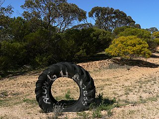
Billiatt Conservation Park, formerly the Billiatt National Park, is a protected area in the Australian state of South Australia located in the locality of Sandalwood about 200 kilometres (120 mi) east of the state capital of Adelaide.

The lands administrative divisions of South Australia are the cadastral units of counties and hundreds in South Australia. They are located only in the south-eastern part of the state, and do not cover the whole state. 49 counties have been proclaimed across the southern and southeastern areas of the state historically considered to be arable and thus in need of a cadastre. Within that area, a total of 540 hundreds have been proclaimed, although five were annulled in 1870, and, in some cases, the names reused elsewhere.

William Patrick Auld, usually known by his initials or as "Pat" or "Patrick", was an Adelaide, South Australian vigneron and wine merchant born in Stalybridge, the son of Patrick Auld and Eliza Auld.

The County of Hindmarsh is one of the 49 cadastral counties of South Australia. It was proclaimed by Governor George Grey in 1842 and named for Governor John Hindmarsh.

County of Carnarvon is a cadastral unit located in the Australian state of South Australia which covers the full extent of Kangaroo Island. It was proclaimed in 1874 by Governor Musgrave in response to the demand for agriculture land on Kangaroo Island.

County of Fergusson is a cadastral unit located in the Australian state of South Australia which spans Yorke Peninsula south of Price. It was proclaimed in 1869 by Governor Fergusson after whom the county was named.

The County of Derby is one of the 49 counties of South Australia. It was proclaimed 1877 by Governor Anthony Musgrave. It covers a rectangular portion of unincorporated pastoral land in the state's Far North. The west of the county includes some of the eastern foothills of the Flinders Ranges and the county's northern border is about 55 kilometres (34 mi) south of Lake Frome. As of 2014, the county has not been divided into hundreds.

The County of Hamley is a cadastral unit located in the Australian state of South Australia covers land located in the state's east north of the Murray River, bordering New South Wales and Victoria. It was proclaimed in 1869 by Governor Fergusson and named after Francis Hamley.

County of Young is a cadastral unit located in the Australian state of South Australia covers land located in the state’s east on the north side of the Murray River. It was proclaimed in 1860 by Governor MacDonnell and named after his predecessor, Governor Young. It has been partially divided in the following sub-units of hundreds – Markaranka, Parcoola, Pooginook and Stuart.

The County of Bosanquet is a cadastral unit in the Australian state of South Australia that covers land both in the north of the Eyre Peninsula and to the peninsula's north. It was proclaimed on 23 October 1913 and was named after Sir Day Hort Bosanquet, the Governor of South Australia from 1909 to 1914.

County of Manchester is a cadastral unit located in the Australian state of South Australia that covers land both located in the north-east of Eyre Peninsula and to the peninsula's north. It was proclaimed in 1891 and named after George Montagu, 6th Duke of Manchester who was the father-in-law of the Rt Hon. Earl of Kintore GCMG, the Governor of South Australia at the time.

The County of Jervois is a cadastral unit in the Australian state of South Australia that covers land on the east coast of the Eyre Peninsula. It was proclaimed on 24 January 1878 and named after William Jervois, the Governor of South Australia from October 1877 to January 1883.

Peeninga is a hundred within the County of Chandos, South Australia established in 1912.

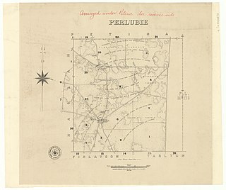
The Hundred of Perlubie is a hundred within County of Dufferin, South Australia and was proclaimed in 1895.

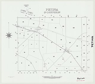
The Hundred of Petina is a hundred within County of Dufferin, South Australia and was proclaimed in 1893.

The Hundred of Nunnyah is a hundred within County of Dufferin, South Australia. and was founded in 1913.

The Hundred of Hague is a hundred within County of Dufferin, South Australia and was founded in 1913.

The Hundred of Louth is a hundred within County of Flinders, South Australia. It is on the Eyre Peninsula and was proclaimed in 1857.
The Hundred of Yantanabie is a cadastral unit of hundred within County of Dufferin, South Australia.


