 Hunt's Island | |
| Geography | |
|---|---|
| Coordinates | 47°35′58″N57°36′41″W / 47.59944°N 57.61139°W |
| Administration | |
Canada | |
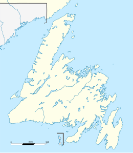
| Province | Newfoundland and Labrador |
| Census division | No. 3 |
| Subdivision | F |
| [1] [2] | |
Hunt's Island is an abandoned fishing settlement in the District of Burgeo-La Poile, on the south west coast of Newfoundland, Canada. It was settled in the 1830s and resettled in 1963. [3] [4] In 1911, its population peaked at 244. This declined to 175 in 1921, rebounded to 178 in 1935, and declined again to 132 in 1945, the last year it was listed separately in the census. [5] Hunt's Island is located in census division 3, subdivision F. [2]
| Year | Pop. | ±% |
|---|---|---|
| 1891 | 188 | — |
| 1901 | 188 | +0.0% |
| 1911 | 244 | +29.8% |
| 1921 | 175 | −28.3% |
| 1935 | 178 | +1.7% |
| 1945 | 132 | −25.8% |
| Source: Memorial University of Newfoundland - Digital Archives Initiative, Census of Newfoundland and Labrador | ||