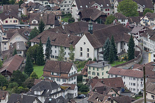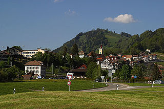
Schwyz is a town and the capital of the canton of Schwyz in Switzerland.

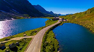
The Flüela Pass is a high mountain pass of the Swiss Alps in Graubünden. Traditionally considered the boundary between the Albula and Silvretta Alps, the pass crosses the watershed / drainage divide between the basins of the rivers Rhine and Danube. The pass is overlooked by the Flüela Schwarzhorn and the Flüela Wisshorn. The summit of the pass lies between the lakes Lai da la Scotta and Lai Nair.

Umbrail Pass is a high mountain pass on the Swiss-Italian border connecting Santa Maria in Val Müstair with Bormio in the Adda valley. On the Italian side, it connects to the Stelvio Pass road and the Valtellina. It is currently the highest paved road in Switzerland.

Pragel Pass is a high mountain pass in the Swiss Alps between the cantons of Schwyz and Glarus between Muotathal and Netstal. The pass itself is located in the canton of Schwyz.

Oberalp Pass is a high mountain pass in the Swiss Alps connecting the cantons of Graubünden and Uri between Disentis/Mustér and Andermatt.

Susten Pass is a mountain pass in the Swiss Alps. The pass road, built from 1938–1945, connects Innertkirchen in the canton of Bern with Wassen in the canton of Uri. A 300-metre long tunnel crosses the pass at 2,224 metres.

The Brünig Pass, at an altitude of 1,008 m (3,307 ft), connects the Bernese Oberland and central Switzerland, linking Meiringen in the canton of Bern and Lungern in the canton of Obwalden. It is on the watershed between the upper reaches of the Aare, which flows through Lake Brienz and Lake Thun, and the Sarner Aa, which flows into Lake Lucerne.

Col des Montets is a mountain pass in the French Alps in the Haute-Savoie department of France. It is on the road between Chamonix, the Swiss Col de la Forclaz and Martigny in the canton of Valais, Switzerland.
Etzel Pass is a mountain pass in the Alps in the canton of Schwyz in Switzerland.

Sattel Pass is a mountain pass in the canton of Schwyz in Switzerland.

Sattelegg Pass is a high mountain pass in the Alps in the canton of Schwyz in Switzerland, connecting Siebnen and Willerzell. The road has a maximum grade of 14 percent.

Wildhaus Pass is a high mountain pass in the Alps in the canton of St. Gallen in Eastern Switzerland. The main road culminates at 1,090 metres, while the pass itself lies at an elevation of 1,027 metres above sea level.

Veleta or Pico del Veleta is the third highest peak of the Iberian Peninsula and the second highest of the Sierra Nevada. Its height is given variously as 3,394 metres (11,135 ft), 3,396 metres (11,142 ft) and 3,398 metres (11,148 ft).

The Stelvio Pass is a mountain pass in northern Italy bordering Switzerland at an elevation of 2,757 m (9,045 ft) above sea level. It is the highest paved mountain pass in the Eastern Alps, and the second highest in the Alps, 7 m (23 ft) below France's Col de l'Iseran.

The Hahnenmoos Pass is a mountain pass of the Bernese Alps. The pass crosses the col between the peaks of Regenboldshorn and Albristhorn, at an elevation of 1,950 m (6,400 ft). The Hahnenmoos Pass is the lowest pass between the Engstligental, to the east, and the upper Simmental, to the west.

The Furggelenstock is a mountain of the Swiss Prealps, located west of Oberiberg in the canton of Schwyz. It lies on the range surrounding Alpthal.


