Ingeborgrud | |
|---|---|
Village | |
 Ingeborgrud Location in Akershus | |
| Coordinates: 60°14′N11°31′E / 60.233°N 11.517°E | |
| Country | Norway |
| Region | Østlandet |
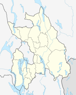
| County | Akershus |
| Municipality | Nes |
| Time zone | UTC+01:00 (CET) |
| • Summer (DST) | UTC+02:00 (CEST) |

Ingeborgrud is a village in Nes municipality, Norway. It is a part of the urban area Skogrand, which is located north of Oppakermoen and west of Skarnes. Its population is 333. [1]