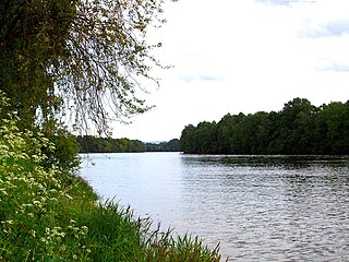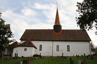
Østfold[²œstfɔl](listen) is a county in southeastern Norway, bordering Akershus and southwestern Sweden, while Buskerud and Vestfold are on the other side of Oslofjord. The county's administrative seat is Sarpsborg.

Skoger is a village located on the border between Buskerud and Vestfold counties, Norway. Of its population of 1,082 as of 2005, 654 were registered as residents of Drammen whereas 428 live in Sande in Vestfold county, Norway.

Drammenselva is a river in Buskerud county, southeastern Norway.
Heiås is a village in the municipality of Trøgstad, Norway. Its population is 654.

Minnesund is a village in the municipality of Eidsvoll, Norway. It is located at the southern end of lake Mjøsa. As of 2005, its population is 488.
Ingeborgrud is a village in Nes municipality, Norway. It is a part of the urban area Skogrand, which is located north of Oppakermoen and west of Skarnes. Its population is 333.

Krokeidet is a village in Bergen municipality, Norway. As of January 1, 2008, its population is 352.
Valdemeca is a municipality in the province of Cuenca, in the autonomous community of Castile-La Mancha, Spain.

Idd is a parish and former municipality in Halden, Østfold county, Norway.

Skjeberg is a district of Sarpsborg, Østfold County, Norway. Skjeberg was formerly a municipality in Østfold County. The last administrative centre was at Borgenhaugen. As of 2018, Skjeberg has a population of 1,397.

Gjerpen is a former township which is now part of the municipality of Skien, in Telemark county, Norway.
Sponvika is a village in Halden municipality, Norway. Its population in 2006 was 413.
Skantebygda is a village in Rakkestad municipality, Norway, located in the agricultural area west of Rakkestad village.

Føynland is a populated island in Nøtterøy municipality, Norway. Two bridges connect the island to Nøtterøy in the west and Husøy in Tønsberg municipality to the east.
Torød is a village and statistical area (grunnkrets) in Nøtterøy municipality, Norway. it was also taken over by the Germans and soldiers lived in some houses. The statistical area Torød, which also can include the peripheral parts of the village as well as the surrounding countryside, has a population of 637.

Årøysund is a village and statistical area (grunnkrets) in Nøtterøy municipality, Norway.

Fevang is a residential- and statistical area (grunnkrets) in Sandefjord municipality, Norway.

Lierbyen is the administrative center of Lier municipality in Buskerud county, Norway. The village is situated on the Lierelva River in the valley of Lierdalen which extends from Drammensfjord north toward Sylling near Tyrifjorden. Lierbyen is located about 39 km from Oslo, about 8 km from Drammen off European route E18. Lierbyen is a part of a greater urban area which also encompasses the villages Lier, Reistad and Kjellstad. The urban area has a population of 4,233 (2007)..
Kölleda is a Verwaltungsgemeinschaft in the district of Sömmerda, in Thuringia, Germany. The seat of the Verwaltungsgemeinschaft is in Kölleda.

Tønsberg is a town located in the municipalities of Tønsberg and Nøtterøy in Vestfold, Norway. As of 2010, it had a population of 48,350, of which 31,932 people lived in the municipality of Tønsberg and 16,418 in Nøtterøy. The town covers an area of 31.06 square kilometers (11.99 sq mi), of which 19.20 square kilometers (7.41 sq mi) is in Tønsberg and 11.86 square kilometers (4.58 sq mi) is in Nøtterøy.


