Ivanovo, Croatia

Last updated
Ivanovo
Gložđe
Ivanovo (Glozde) 03.jpg
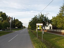
Street of Ivanovo, Croatia
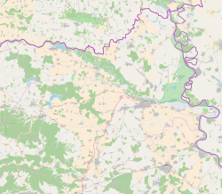
Osijek-Baranja County OpenStreetMap.svg
Red pog.svg
Ivanovo
Croatia location map.svg
Red pog.svg
Ivanovo
Europe blank laea location map.svg
Red pog.svg
Ivanovo
Coordinates: 45°44′13″N18°07′19″E / 45.73694°N 18.12194°E / 45.73694; 18.12194
CountryFlag of Croatia.svg Croatia
Area
[1]
  Total
2.9 sq mi (7.5 km2)
Population
 (2021) [2]
  Total
224
  Density77/sq mi (30/km2)
Time zone UTC+1 (CET)
  Summer (DST) UTC+2 (CEST)

Ivanovo is a village in Croatia.

References

  1. Register of spatial units of the State Geodetic Administration of the Republic of Croatia. Wikidata   Q119585703.
  2. "Population by Age and Sex, by Settlements" (xlsx). Census of Population, Households and Dwellings in 2021. Zagreb: Croatian Bureau of Statistics. 2022.