| Jabi Lake | |
|---|---|
 | |
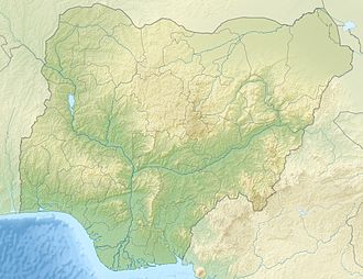 Jabi Lake | |
| Location | Nigeria |
| Coordinates | 9°04′26″N7°25′16″E / 9.074°N 7.421°E |
| Type | reservoir |
| Surface area | 1,300 hectares (3,200 acres) |
Jabi Lake is a water body formed from a man-made earth dam that was initially created to provide water to the residents of Abuja, Nigeria. [1] The total surface area of the lake is about 1,300 hectares (3,200 acres). [2]

The initial capacity of the reservoir was to supply water to 100,000 residents. But after the construction of the bigger Lower Usuma Dam, the reservoir became a fishing and tourism attraction.
