Aden is a governorate of Yemen, including the city of Aden. At the 2004 census, it had a population of 589,419. The ancient capital, the port city of Crater, was located here.

Dhale is one of the Yemeni governorates that was created after the unification of Yemen. The population of the province accounts for 2% of the total population of the republic. The governorate is divided into 9 districts. The city of Dhale is the administrative centre of the province. Dali is one of the governorates that is known for agriculture, and most of the population works in that industry. The most important agricultural crop is coffee. The province also contains mineral resources, most importantly talc, which is used in the manufacture of paper, paint, cosmetics and pesticides. This governorate is also home to the Damt hot-springs (Ḥamam-Damt), a popular tourist attraction. One of the ancient cities in the region is Juban, a city famous for its castle and the historic Mansuria school, built by the Tahrids. The climate in Dhale governorate is mostly temperate throughout the year.

Lahij is a governorate of Yemen.
Sultanpur is a village in Belgaum district of Karnataka, India.
Iyal Surayh District is a district of the 'Amran Governorate, Yemen. As of 2003, the district had a population of 54,015 inhabitants.
Kharif District is a district of the 'Amran Governorate, Yemen. As of 2003, the district had a population of 45,977 inhabitants. On July 13, 2020, it is reported that the Houthi militia captured the last Jews of Yemen in the Kharif District.
An Nadirah District is a district of the Ibb Governorate, Yemen. As of 2003, the district had a population of 73,755 inhabitants.
Ar Radmah District is a district of the Ibb Governorate, Yemen. As of 2003, the district had a population of 76,576 inhabitants.
As Sabrah District is a district of the Ibb Governorate, Yemen. As of 2003, the district had a population of 69,872 inhabitants.
As Saddah District is a district of the Ibb Governorate, Yemen. As of 2003, the district had a population of 82,502 inhabitants.
As Sayyani District is a district of the Ibb Governorate, Yemen. As of 2003, the district had a population of 110,515 inhabitants.
Ash Sha'ir District is a district of the Ibb Governorate, Yemen. As of 2003, the district had a population of 39,805 inhabitants.
Al-Mawasit District is a district of the Taiz Governorate, Yemen. As of 2003, the district had a population of 115,857 inhabitants.
Al Misrakh District is a district of the Taiz Governorate, Yemen. As of 2003, the district had a population of 112,653 inhabitants.
At Ta'iziyah District is a district of the Taiz Governorate, Yemen. As of 2003, the district had a population of 109,814 inhabitants.
Hayfan District is a district of the Taiz Governorate, Yemen. As of 2003, the district had a population of 171,315 inhabitants.
Sabir Al Mawadim District is a district of the Taiz Governorate, Yemen. As of 2003, the district had a population of 100,254 inhabitants.
Jihanah District is a district of the Sana'a Governorate, Yemen. As of 2003, the district had a population of 50,747 inhabitants.
Sanhan and Bani Bahlul District is a district of the Sana'a Governorate, Yemen. Its seat is Sanhan. As of 2003, the district had a population of 400,399 inhabitants. The former President of Yemen Ali Abdullah Saleh comes from Beit al-Ahmar, which lies in Sanhan District.

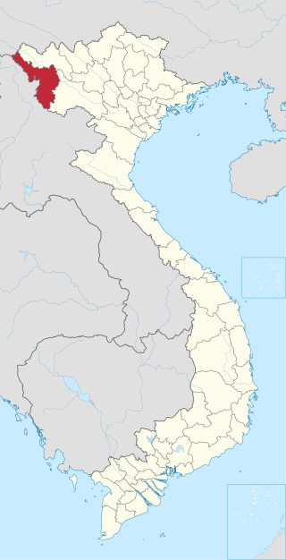
Mường Mùn is a commune (xã) and village of the Tuần Giáo District of Điện Biên Province, northwestern Vietnam.


