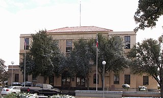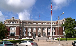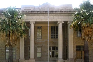
Zavala County is a county located in the U.S. state of Texas. As of the 2010 census, the population was 11,677. Its county seat is Crystal City. The county was created in 1858 and later organized in 1884. Zavala is named for Lorenzo de Zavala, Mexican politician, signer of the Texas Declaration of Independence, and first vice president of the Republic of Texas.

Young County is a county located in the U.S. state of Texas. As of the 2010 census, its population was 18,550. Its county seat is Graham. The county was created in 1856 and organized in 1874. It is named for William Cocke Young, an early Texas settler and soldier.

Val Verde County is a county located on the southern Edwards Plateau in the U.S. state of Texas. The 2014 population is 51,047. Its county seat is Del Rio. In 1936, Val Verde County received Recorded Texas Historic Landmark number 5625 to commemorate its founding.

Terrell County is a county located in the U.S. state of Texas. As of the 2010 census, its population was 984, making it the eighth-least populous county in Texas, and the 37th-least populous county in the nation. Its county seat is the census-designated place of Sanderson; no incorporated municipalities are in the county. The county was named for Alexander W. Terrell, a Texas state senator.

Reeves County is a county located in the U.S. state of Texas. As of the 2010 census, its population was 13,783. Its county seat is Pecos. The county was created in 1883 and organized the next year. It is named for George R. Reeves, a Texas state legislator and colonel in the Confederate Army. It is one of the nine counties that comprise the Trans-Pecos region of West Texas.

Real County is a county located on the Edwards Plateau in the U.S. state of Texas. As of the 2010 census, its population was 3,309. The county seat is Leakey. The county is named for Julius Real (1860–1944), a former member of the Texas State Senate.

Palo Pinto County is a county located in the U.S. state of Texas. As of the 2010 census, its population was 28,111. The county seat is Palo Pinto. The county was created in 1856 and organized the following year.

Llano County is a county located on the Edwards Plateau in the U.S. state of Texas. As of the 2010 census, its population was 19,301. Its county seat is Llano, and the county is named for the Llano River.

Limestone County is a county located in the U.S. state of Texas. As of the 2010 census, the population was 23,384. Its county seat is Groesbeck. The county was created in 1846.

Hudspeth County is a county located in the U.S. state of Texas. As of the 2010 census, the population was 3,476. Its county seat is Sierra Blanca, and the largest community is Fort Hancock. The county is named for Claude Benton Hudspeth, a state senator and United States Representative from El Paso. It is northeast from the Mexican border.

Hansford County is a county located in the U.S. state of Texas. As of the 2010 census, its population was 5,613. Its county seat is Spearman. The county was created in 1876 and organized in 1889. It is named for John M. Hansford, a Texas state congressman and judge.

Garza County is a county located in the U.S. state of Texas. As of the 2010 census, its population was 6,461. Its county seat is Post. The county was created in 1876 and later organized in 1907. Garza is named for a pioneer Bexar County family, as it was once a part of that county. It is located southeast of Lubbock.

Dimmit County is a county located in the U.S. state of Texas. As of the 2010 census, its population was 9,996. The county seat is Carrizo Springs. The county was founded in 1858 and later organized in 1880. It is named for Philip Dimmitt, a major figure in the Texas Revolution. The spelling of the county name and the spelling of the individual's name differ because of a spelling error in the bill creating the county name.

Culberson County is a county located in the U.S. state of Texas. As of the 2010 census, its population was 2,398. The county seat is Van Horn. Culberson County was founded in 1911 and organized the next year. It is named for David B. Culberson, a lawyer and Confederate soldier in the American Civil War.

Cherokee County is a county located in the U.S. state of Texas. As of the 2010 census, its population was 50,845. The county seat is Rusk. The county was named for the Cherokee, who lived in the area before being expelled in 1839. Rusk, the county seat, is 130 miles southeast of Dallas and 160 miles north of Houston.

The Handbook of Texas is a comprehensive encyclopedia of Texas geography, history, and historical persons published by the Texas State Historical Association (TSHA).
The Old Three Hundred were the 297 grantees, made up of families and some partnerships of unmarried men, who purchased 307 parcels of land from Stephen Fuller Austin and established a colony that encompassed an area that ran from the Gulf of Mexico on the south, to near present-day Jones Creek, Brazoria county Texas, Brenham in Washington County, Texas, Navasota in Grimes County, and La Grange in Fayette County. Moses Austin was the original empresario of the Old Three Hundred and was succeeded by his son, Stephen F. Austin, after his untimely death.

The Mainzer Adelsverein at Biebrich am Rhein, better known as the Mainzer Adelsverein, organized on April 20, 1842, was a colonial attempt to establish a new Germany within the borders of Texas.

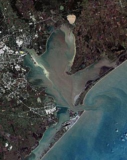
For a period of over 7000 years, humans have inhabited the Galveston Bay Area in what is now the United States. Through their history the communities in the region have been influenced by the once competing sister cities of Houston and Galveston, but still have their own distinct history. Though never truly a single, unified community, the histories of the Bay Area communities have had many common threads.

Cherry Spring is an unincorporated farming and ranching community established in 1852 in Gillespie County, in the U.S. state of Texas. It is located on Cherry Spring Creek, which runs from north of Fredericksburg to Llano. The creek was also sometimes known as Cherry Springs Creek by residents. The community is located on the old Pinta Trail. The Cherry Spring School was added to the National Register of Historic Places Listings in Gillespie County, Texas on May 6, 2005. The school was designated a Recorded Texas Historic Landmark in 1985.


