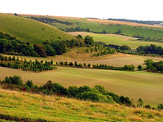
Inkpen is a village and civil parish in West Berkshire 3.5 miles (5.6 km) southeast of Hungerford, most of the land of which is cultivated fields with scattered woodland which was once part of a former forest known as Savernake. Inkpen has boundaries with Wiltshire and Hampshire, including part of Walbury Hill, the highest point in England's South East.
Hell Corner is a hamlet in the civil parish of Inkpen in the English county of Berkshire.
Cholsey Abbey was an Anglo-Saxon nunnery in Cholsey in the English county of Berkshire, which was founded in 986.

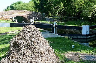
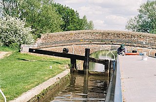
Brunsdon Lock is a lock on the Kennet and Avon Canal, near Kintbury, Berkshire, England.

Dreweatt's Lock is a lock on the Kennet and Avon Canal, between Kintbury and Newbury, Berkshire, England.

Copse Lock is a lock on the Kennet and Avon Canal, between Kintbury and Newbury, Berkshire, England.
Hamstead Lock is a lock on the Kennet and Avon Canal, at Hamstead Marshall between Kintbury and Newbury, Berkshire, England.

Benham Lock, formely known as Benham Bridge Lock is a lock on the Kennet and Avon Canal, between Kintbury and Newbury. It is located below Marsh Benham, but in the civil parish of Enborne, in the English county of Berkshire.

Higg's Lock is a lock on the Kennet and Avon Canal, between Kintbury and Newbury, Berkshire, England.

Guyer's Lock is a lock on the Kennet and Avon Canal, between Kintbury and Newbury, Berkshire, England.
Amesbury Abbey was a Benedictine abbey of women at Amesbury in Wiltshire, England, founded by Queen Ælfthryth in about the year 979 on what may have been the site of an earlier monastery. The abbey was dissolved in 1177 by Henry II, who founded in its place a house of the Order of Fontevraud, known as Amesbury Priory.

Avington is a village and former civil parish on the River Kennet in West Berkshire, England. It is now part of the parish of Kintbury.
St. Mary's Abbey, also known as the Nunnaminster, was a Benedictine nunnery in Winchester, Hampshire, England. It was founded between 899 and 902 by Alfred the Great's widow Ealhswith, who was described as the 'builder' of the Nunnaminster in the New Minster Liber Vitae. The first buildings were completed by their son, Edward the Elder. Among the house's early members was Edward's daughter Edburga.
Denford Park is a country house and surrounding estate in the English county of Berkshire, within the civil parish of Kintbury.

Inkpen and Walbury Hills is an 86.8-hectare (214-acre) biological Site of Special Scientific Interest south of Kintbury in Berkshire. A Bronze Age cemetery of three bowl barrows on Inkpen Hill is designated a Scheduled Monument.
Bromhall Priory was a nunnery of Benedictine nuns at Sunningdale in the English county of Berkshire.
Helenstowe Nunnery was an Anglo-Saxon nunnery at Abingdon in the English county of Berkshire.

Nuneaton Priory was a medieval Benedictine monastic house in Nuneaton, Warwickshire, England. It was initially founded by Robert de Beaumont and Gervase Paganell in 1153 at Kintbury in Berkshire as a daughter house of Fontevraud Abbey in France. Soon afterwards, in around 1155 the foundation was moved to Etone in Warwickshire, which subsequently became known as Nuneaton.

Kintbury Newt Ponds is a 3-hectare (7.4-acre) nature reserve in Kintbury in Berkshire. It is managed by the Berkshire, Buckinghamshire and Oxfordshire Wildlife Trust.


