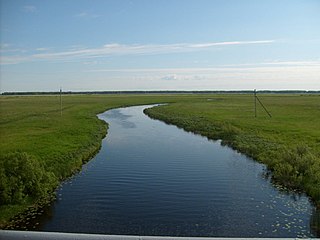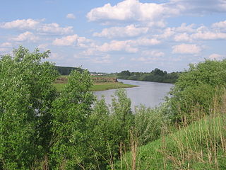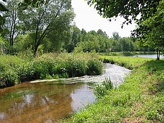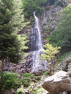
The Saône is a river of eastern France. It is a right tributary of the Rhône, rising at Vioménil in the Vosges department and joining the Rhône in Lyon, just south of the Presqu'île.

The Ubangi River, also spelled Oubangui, is the largest right-bank tributary of the Congo River in the region of Central Africa. It begins at the confluence of the Mbomou and Uele Rivers and flows west, forming the border between Central African Republic (CAR) and Democratic Republic of the Congo. Subsequently, the Ubangi bends to the southwest and passes through Bangui, the capital of the CAR, after which it flows south – forming the border between Democratic Republic of the Congo and Republic of Congo. The Ubangi finally joins the Congo River at Liranga.

The Ardèche is a 125-kilometre (78 mi) long river in south-central France, a right-bank tributary of the River Rhône. Its source is in the Massif Central, near the village of Astet. It flows into the Rhône near Pont-Saint-Esprit, north-west of Orange. The river gives its name to the French department of Ardèche.

The Orne is a river in Lorraine, north-eastern France, which is a left tributary of the Moselle and sub-tributary of the Rhine. Its source is in the hills northeast of Verdun. It flows east and joins the Moselle near Mondelange, between Metz and Thionville.

The Hers-Vif, also named Grand Hers or simply Hers, is a 135-kilometre (84 mi) long river in southern France, right tributary of the Ariège.

Mzymta is a river in Western Caucasus, Russia, flowing through Mostovsky District and the city of Sochi of Krasnodar Krai, Russia. Mzymta is the largest river in Russia emptying into the Black Sea. It is 89 kilometres (55 mi) long with a watershed of 885 square kilometres (342 sq mi). All the venues of the 2014 Winter Olympics were in the Mzymta Valley.

Lake Qaraoun is an artificial lake or reservoir located in the southern region of the Beqaa Valley, Lebanon. It was created near Qaraoun village in 1959 by building a 61-metre-high (200 ft) concrete-faced rockfill dam in the middle reaches of the Litani River. The reservoir has been used for hydropower generation, domestic water supply, and for irrigation of 27,500 hectares.

The Kargat is a river in Novosibirsk Oblast, Russia. It is a right tributary of the Chulym River. The Kargat is 387 kilometres (240 mi) in length, with a drainage basin of 7,200 square kilometres (2,800 sq mi)

Inya is a river in Kemerovo and Novosibirsk Oblasts of Russia. It is a right tributary of the Ob River. It is 663 kilometres (412 mi) long, with a drainage basin of 17,600 square kilometres (6,800 sq mi).

The Vologne is a river of the Vosges department in France. It is tributary of the Moselle River. Its source is in the Vosges Mountains, on the northwestern slope of the Hohneck. It flows through the lakes of Retournemer and Longemer, and passes the villages of Xonrupt-Longemer, Granges-sur-Vologne, Lépanges-sur-Vologne and Docelles, finally flowing into the Moselle in Pouxeux.
The Tersakkan River is a river of Kazakhstan. A left tributary of the Ishim River, it is 334 kilometres (208 mi) long and has an area of 19,500 square kilometres (7,500 sq mi). It flows through the western parts of Kazakhstan Uplands and the average annual flow is approximately 2.5 cubic metres per second (88 cu ft/s), with a maximum up to 52.7 cubic metres per second (1,860 cu ft/s). The river freezes in November and thaws in mid-April. Peak flow is in April during snowmelt.

The Chatkal River is a river of Jalal-Abad Region, Kyrgyzstan and Tashkent Region in Uzbekistan. It is a left tributary of the Chirciq River in the Syr Darya basin.
The Kichi-Kemin River is a river in Kemin District of Chuy Province of Kyrgyzstan and Korday District of Kazakhstan. It is a right tributary of the Chu River in Chuy Valley. It is 81 kilometres (50 mi) long with a basin area of 614 square kilometres (237 sq mi). The flow of the Kichi-Kemin River considerably varies; the minimum flow is 0.46 cubic metres per second (16 cu ft/s) in February, and the maximum is 8.63 cubic metres per second (305 cu ft/s) in July.

The Anuy River is a 327-kilometre (203 mi) long left tributary of the Ob River originating in the Altai mountains of Siberia, Russia.

The Dranse is a French river in the department of Haute-Savoie, that empties into Lake Geneva between Thonon-les-Bains and Évian-les-Bains.

The Neuné is a river which flows in the Vosges department of France. It is a right tributary of the Vologne, and therefore a sub-tributary of the Moselle.

The Cleurie or rupt de Cleurie is a river in the Lorraine in France, which flows in the Vosges department. It is a right tributary of the Moselotte, and thus a sub-tributary of the Rhine, via the Moselotte and the Moselle.

The Moselotte is a river in Lorraine, in the French department of Vosges. It is a direct right tributary of the Moselle, and thus a sub-tributary of the Rhine.

The Gier is a French river that flows in a northeast direction through the Loire and Rhône departments. It is a tributary of the Rhône, which it enters from the right bank. The Gier valley was formerly heavily industrialized with coal and iron mines and factories.

The Jølstra is a river in the municipalities of Jølster and Førde in Sogn og Fjordane county, Norway. The 22-kilometre (14 mi) long river flows from the lake of Jølstravatnet down to the Førdefjorden. The river begins at the village of Vassenden, on the shores of the lake, it then goes past the village of Langhaugane, then past the Moskog area of Førde, past the village of Bruland, and it finally flows to its mouth at the town of Førde, on the shores of the fjord. There are four hydroelectric power stations in the river. The average rate of flow in Jølstra is given as 43.9 cubic metres per second (1,550 cu ft/s), measured at Høgset over the period from 1993 to 2011. The highest recorded flow rate during this period was 256 cubic metres per second (9,000 cu ft/s), while the lowest recorded flow rate was 1.2 cubic metres per second (42 cu ft/s).


