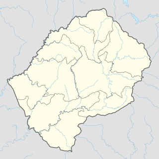
Mafeteng is a district of Lesotho. It has an area of 2,119 km² and a population in 2016 of 178,222. Mafeteng is the capital or camptown, and only town in the district. In the west, Mafeteng borders on the Free State Province of South Africa. Domestically, it borders on the following districts Maseru District in the northeast and Mohale's Hoek District in the southeast.

Sehonghong is a community council located in the Thaba-Tseka District of Lesotho. Its population in 2006 was 5,814. The village of Sehonghong is located between Taung and Matebeng on the Senqu River.

Mazenod is a community council located in the Maseru District of western Lesotho. The population in 2006 was 27,553. It is located to the south-east of the capital Maseru. Points of interest include Moshoeshoe I International Airport, Lesotho's only international airport.

The districts of Lesotho are further divided into constituencies, which are in turn divided into community councils.

Kanana is a community council located in the Berea District of Lesotho. Its population in 2006 was 19,311.

Phuthiatsana is a community council located in the Berea District of Lesotho. Its population in 2006 was 25,660.

Kao, Lesotho is a community council located in the Butha-Buthe District of Lesotho. Its population in 2006 was 5,304.

Monyake is a community council located in the Mohale's Hoek of Lesotho. Its population in 2006 was 12,234.

Phamong is a community council located in the Mohale's Hoek District of Lesotho. Its population in 2006 was 8,402. Chieftainess Nthati Bereng Bereng was confirmed into office as Principal Chief of Phamong at a ceremony presided over by King Letsie III on August 27, 2004. The inauguration follows the death of her husband in 2002.

Liphamola is a community council located in the Mokhotlong District of Lesotho. Its population in 2006 was 8,215.

Tsatsane is a community council located in the Quthing District of Lesotho. Its population in 2006 was 9,452.

Bobete is a community council located in the Thaba-Tseka District of Lesotho. Its population in 2006 was 12,966.

Khohlo-Ntso is a community council located in the Thaba-Tseka District of Lesotho. Its population in 2006 was 7,264.

Lesobeng is a community council located in the Thaba-Tseka District of Lesotho. Its population in 2006 was 12,542.

Malehloana is a community council located in the Thaba-Tseka District of Lesotho. Its population in 2006 was 11,161.

Mohlanapeng is a community council located in the Thaba-Tseka District of Lesotho. Its population in 2006 was 9,882.

Mphe-Lebeko is a community council located in the Thaba-Tseka District of Lesotho. Its population in 2006 was 11,463.

Mabote is a constituency and community council in the Maseru Municipality located in the Berea District of Lesotho. The population in 2006 was 38,047.

Motimposo is a constituency and community council in the Maseru Municipality located in the Maseru District of Lesotho. The population in 2006 was 24,714.
Phola, or Upriver Phula, is a dialect cluster of the Loloish languages spoken by the Phula people of China.


